Sant Julià, Majorca

Gallery (1)
Map
Map
Facts and practical information
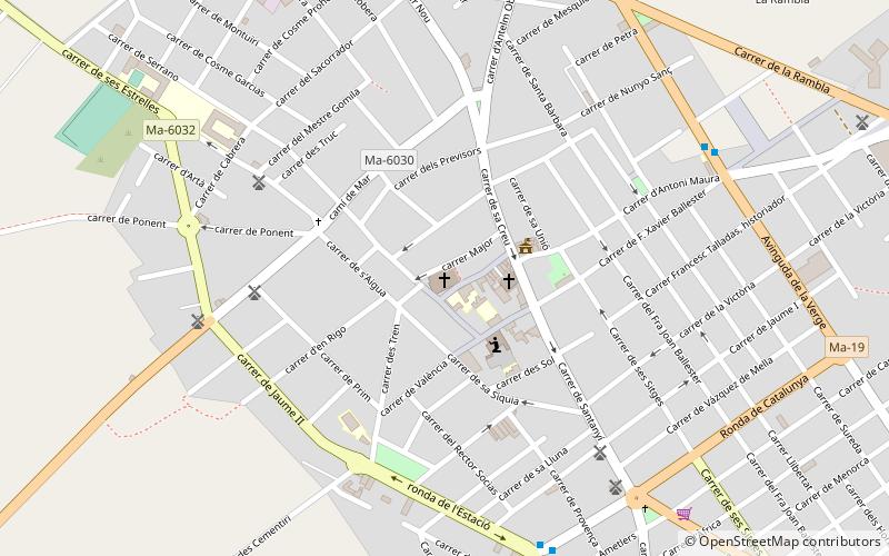
Sant Julià (address: Carrer del Bisbe Talladas, 17) is a place located in Majorca (Balearic Islands autonomous community) and belongs to the category of museum.
It is situated at an altitude of 85 feet, and its geographical coordinates are 39°25'50"N latitude and 3°1'5"E longitude.
Planning a visit to this place, one can easily and conveniently get there by public transportation. Sant Julià is a short distance from the following public transport stations: c/ Nicolau Oliver Fullana (bus, 8 min walk).
Coordinates: 39°25'50"N, 3°1'5"E
Getting there by public transportation
Public transportation stops near this location
- Bus
 Bus
Bus
- Calculate routec/ Nicolau Oliver Fullana 8 min walk
- Calculate routeAv, de la Verge 8 min walk
- Calculate routeC/ Nicolau Oliver Fullana 8 min walk
- Calculate routeAv. de la Verge 8 min walk
Frequently Asked Questions (FAQ)
How to get to Sant Julià by public transport?
The nearest stations to Sant Julià:
Bus
Bus
- c/ Nicolau Oliver Fullana • Lines: 503 (8 min walk)
- Av, de la Verge • Lines: 503, 515, 516, 518 (8 min walk)