Avenida Santuario, Altura
Map

Map

Facts and practical information
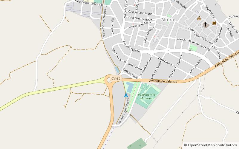
Avenida Santuario (address: Calle Alcublas) is a place located in Altura (Valencia autonomous community) and belongs to the category of sacred and religious sites, bridge.
It is situated at an altitude of 1329 feet, and its geographical coordinates are 39°50'54"N latitude and 0°30'59"W longitude.
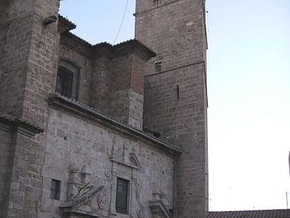
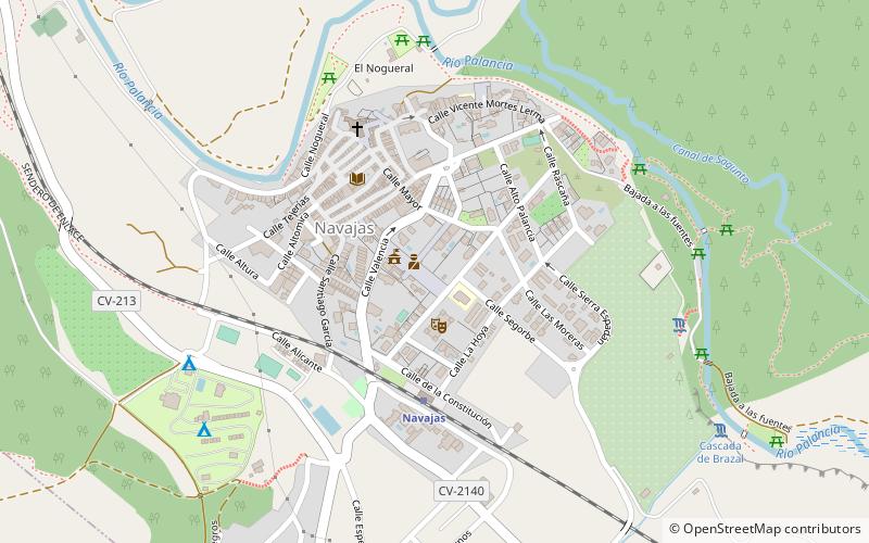
Among other places and attractions worth visiting in the area are: Segorbe Cathedral, Segorbe (church, 39 min walk), Navajas (locality, 52 min walk), Castellnovo (locality, 83 min walk).
Coordinates: 39°50'54"N, 0°30'59"W
Day trips
Avenida Santuario – popular in the area (distance from the attraction)
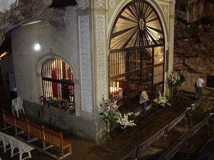
Nearby attractions include: Santuario de la Cueva Santa, Segorbe Cathedral, Torre mudéjar de la Alcudia, Castellnovo.


