Udaletxea

Gallery (1)
Map
Map
Facts and practical information
Udaletxea (address: 2 San Miguel Plaza) is a place located in Spain and belongs to the category of city hall.
It is situated at an altitude of 1453 feet, and its geographical coordinates are 42°59'13"N latitude and 2°34'4"W longitude.
Among other places and attractions worth visiting in the area are: Nuestra Señora de Dorleta (church, 9 min walk), San Migel eliza (church, 60 min walk), Santa Krutz ErmitaAizkorri-Aratz Natural Park (church, 126 min walk).
Coordinates: 42°59'13"N, 2°34'4"W
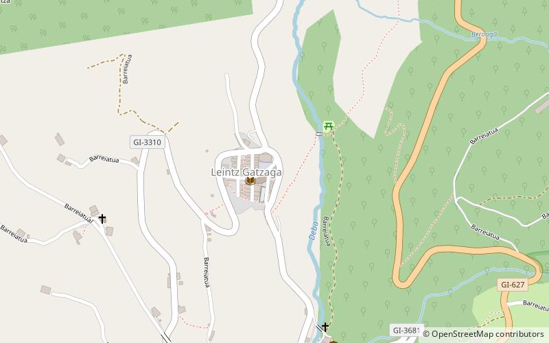
Location
2 San Miguel PlazaBasque Country
ContactAdd
Social media
Add
Day trips


