Sierra de Alcaraz
Map

Map

Facts and practical information
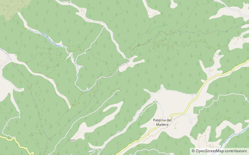
The Sierra de Alcaraz is a mountain range of the Cordillera Prebética located in Albacete Province, southeast Spain. Its highest peak is the Pico Almenara with an elevation of 1796 m. ()
Location
Castilla-La Mancha
ContactAdd
Social media
Add
Day trips
Sierra de Alcaraz – popular in the area (distance from the attraction)
Nearby attractions include: Pico Almenara, Paterna del Madera.


