Penyagalera
Map

Map

Facts and practical information
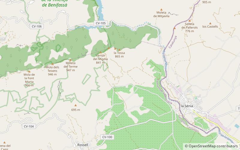
Penyagalera is a rocky mountain in the northern side of the Ports de Tortosa-Beseit, Aragon, Spain. Punta de Penyagalera, the highest summit, has an altitude of 1,034.4 metres above sea level. ()
Elevation: 3392 ftCoordinates: 40°38'55"N, 0°14'34"E
Location
Valencia
ContactAdd
Social media
Add
Day trips
Penyagalera – popular in the area (distance from the attraction)
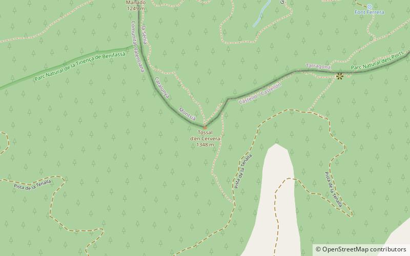
Nearby attractions include: Tossal d'en Cervera, Ulldecona Dam, Tinença de Benifassà, Serra del Turmell.


