Refugi Ventosa i Calvell, Aigüestortes i Estany de Sant Maurici National Park

Gallery (1)
Map
Map
Facts and practical information
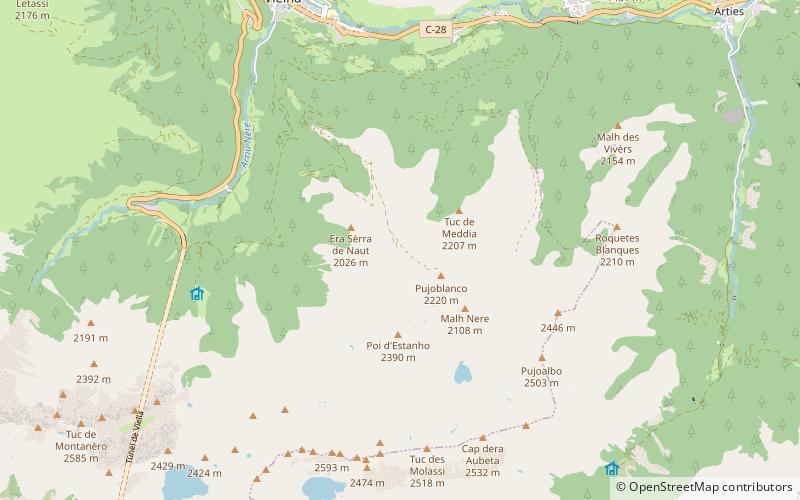
The refuge Joan Ventosa i Calvell is a mountain refuge in the Pyrenees, at 2220 m altitude, located next to the Black Lake, in the valley of Bohí, in the region of Alta Ribagorza.
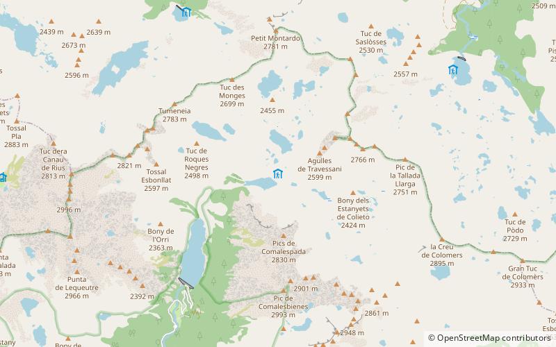
The refuge is located on the Carros de Foc route, a 55 km hike that covers all the refuges in the Aiguas Tortas i Estany de Sant Maurici National Park. From the north it is accessed from the Restanca refuge, and from the south from the Estany Llong refuge, after a long stage that crosses the Contraix pass, the highest on the route.
Coordinates: 42°36'19"N, 0°52'39"E
Day trips