Trek Zone

Carrer de la Unió, Amposta

#2 among attractions in Amposta

Square
Carrer de la Unió

Facts and practical information

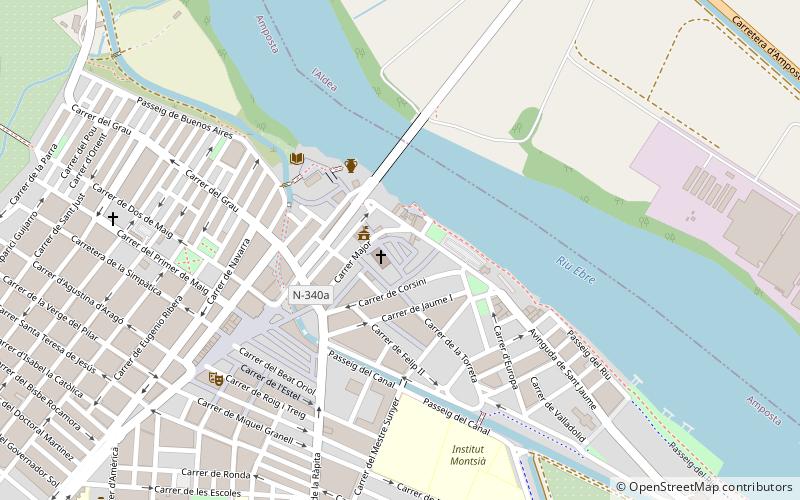
Carrer de la Unió (address: Miralles, 4) is a place located in Amposta (Catalonia autonomous community) and belongs to the category of square.

It is situated at an altitude of 39 feet, and its geographical coordinates are 40°42'48"N latitude and 0°34'54"E longitude.

Among other places and attractions worth visiting in the area are: Museu de les Terres de l’Ebre (history museum, 10 min walk), Masdenverge (village, 68 min walk), Santa Bàrbara (locality, 119 min walk).

Coordinates: 40°42'48"N, 0°34'54"E
Address

Miralles, 4Amposta Spain

ContactAdd
Social media
Add

Amposta plan & book

Unleash the traveler in you — discover the cheapest flight deals, find the perfect hotel or hostel nearby, and search for the best car rental prices. Travel at your own pace to discover new places and enjoy your journey.

Day trips

Carrer de la Unió – popular in the area (distance from the attraction)

Nearby attractions include: Museu de les Terres de l’Ebre, Santa Bàrbara, Masdenverge.

  • museu de les terres de lebre amposta0.4 miSW
  • santa barbara4.7 miW
  • masdenverge2.7 miW

Where to next? Visit catalonia Catalonia region page or discover the top tourist attractions in Spain.