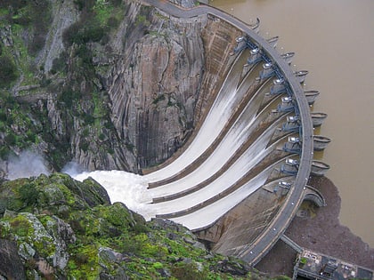
Aldeadávila Dam
Map
Gallery
Facts and practical information
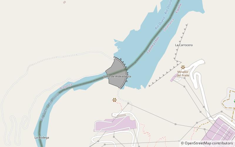
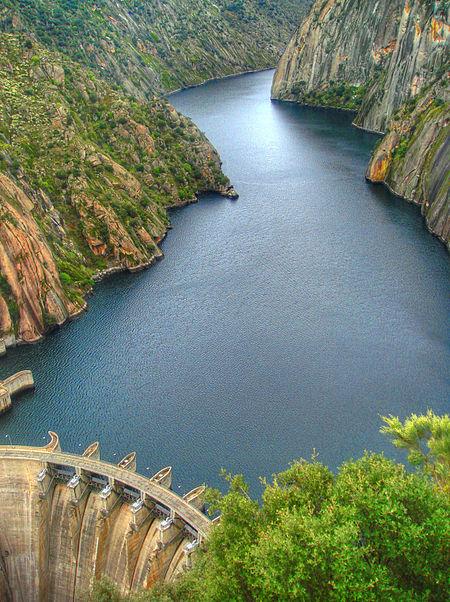
Aldeadávila Dam is a concrete arch-gravity dam on the Duero River in Spain, near the border with Portugal. The nearest town is Aldeadávila de la Ribera in the Province of Salamanca, about 11.3 kilometres to the east. The nearest Portuguese town is Fornos in Bragança District, about 8 kilometres to the southwest. The Portuguese side of the river around the dam site lies within the Arribes del Duero Natural Park. ()
Local name: Presa de Aldeadávila Opened: 1962 (64 years ago)Length: 820 ftHeight: 459 ftReservoir area: 1.41 mi²Coordinates: 41°12'42"N, 6°41'10"W
Location
Castile and León
ContactAdd
Social media
Add
Day trips
Aldeadávila Dam – popular in the area (distance from the attraction)
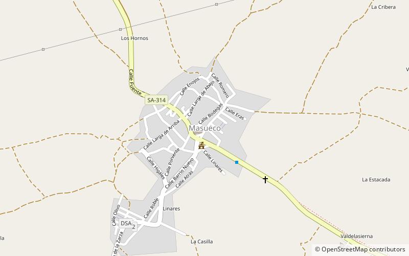
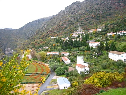
Nearby attractions include: Masueco, Aldeadávila de la Ribera.
