Sierra del Escudo de Cabuérniga
Map

Map

Facts and practical information
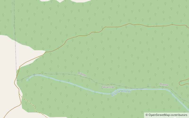
The Sierra del Escudo de Cabuérniga is a mountain range in Cantabria, Spain. It is a northern foothill of the Cantabrian Mountains, located between the main ranges and the Bay of Biscay. Its highest point is 927 m high Gándara. ()
Location
Cantabria
ContactAdd
Social media
Add
Day trips
Sierra del Escudo de Cabuérniga – popular in the area (distance from the attraction)
Nearby attractions include: Cave of El Soplao, Monumento natural de La Fuentona, Museo de la Naturaleza, Cabezón de la Sal.


