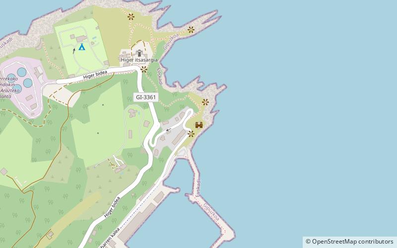
Castillo de San Telmo, Hondarribia
Map

Map

Facts and practical information
Castillo de San Telmo is a place located in Hondarribia (Basque Country autonomous community) and belongs to the category of forts and castles.
It is situated at an altitude of 36 feet, and its geographical coordinates are 43°23'23"N latitude and 1°47'22"W longitude.
Among other places and attractions worth visiting in the area are: Cape Higuer Lighthouse (lighthouse, 5 min walk), Higer itsasargia (lighthouse, 6 min walk), Puerta exterior de San Nicolas (city gate, 46 min walk).
Coordinates: 43°23'23"N, 1°47'22"W
Day trips
Castillo de San Telmo – popular in the area (distance from the attraction)
Nearby attractions include: Stadium Gal, Cape Higuer Lighthouse, Jaizkibel, Irungo Udaletxea / Mairie d'Irun.


