Kalbaixo ermita, Mutriku

Gallery (1)
Map
Map
Facts and practical information
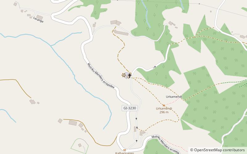
Kalbaixo ermita is a place located in Mutriku (Basque Country autonomous community) and belongs to the category of view point, church.
It is situated at an altitude of 764 feet, and its geographical coordinates are 43°17'55"N latitude and 2°22'59"W longitude.
Among other places and attractions worth visiting in the area are: Berriatua dorrea (tower, 16 min walk), Zabiel Jauregia (forts and castles, 16 min walk), Jasokundeko Andre Mari Eliza (church, 17 min walk).
Coordinates: 43°17'55"N, 2°22'59"W
Address
Mutriku
ContactAdd
Social media
Add
Day trips


Frequently Asked Questions (FAQ)
Which popular attractions are close to Kalbaixo ermita?
Nearby attractions include Berriatua dorrea, Mutriku (16 min walk), Zabiel Jauregia, Mutriku (16 min walk), Jasokundeko Andre Mari Eliza, Mutriku (17 min walk), San Nikolas ermita, Mutriku (20 min walk).