Esplugues de Llobregat, Barcelona
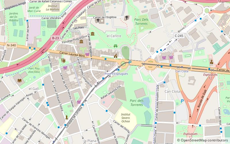
Map

Map

Facts and practical information
Esplugues de Llobregat is a municipality of the Barcelona metropolitan area. Formerly in the Barcelonès, since 1990 it has been part of the comarca of Baix Llobregat. During recent decades Esplugues has evolved from a predominantly industrial town to a more diverse service area, preserving, however, its cultural and historical identity. ()
Day trips
Esplugues de Llobregat – popular in the area (distance from the attraction)
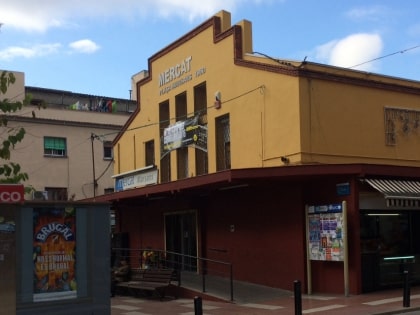
Nearby attractions include: L'Hospitalet Museum, Can Tinturé Museum, Hospitalet de Llobregat, Mercat Marsans.
Frequently Asked Questions (FAQ)
Which popular attractions are close to Esplugues de Llobregat?
Nearby attractions include Can Tinturé Museum, Barcelona (5 min walk), La Plana, Barcelona (9 min walk), Sant Just Desvern, Barcelona (20 min walk).
How to get to Esplugues de Llobregat by public transport?
The nearest stations to Esplugues de Llobregat:
Tram
Bus
Metro
Train
Tram
- Pont d'Esplugues • Lines: T1, T2, T3 (1 min walk)
- Can Clota • Lines: T1, T2, T3 (7 min walk)
Bus
- Av de Cornellà - Pont d'Esplugues • Lines: 67, 68, 78, N14 (1 min walk)
- Pont d'Esplugues - Av de Cornellà • Lines: 67, 68, 78, N14 (2 min walk)
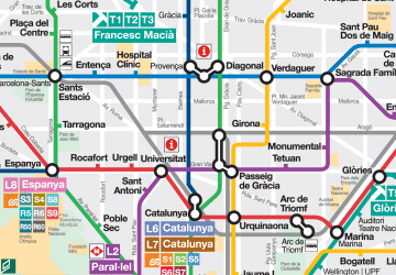
Metro
- Can Vidalet • Lines: L5 (18 min walk)
- Can Boixeres • Lines: L5 (19 min walk)
Train
- L'Hospitalet de Llobregat (28 min walk)

 Metro
Metro


