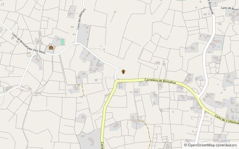
Binissafullet, Menorca

Gallery (2)
Map
Map
Gallery
Facts and practical information
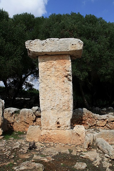
Binissafullet is a talayotic settlement which was occupied from the 10th century BC and had its height during the 4th and 3rd centuries BC. Medieval Islamic materials scattered around the site's surface suggest a later occupation during the Medieval period. ()
Address
Menorca
ContactAdd
Social media
Add
Day trips


