Club de Golf Jávea, Xàbia
Map

Map

Facts and practical information
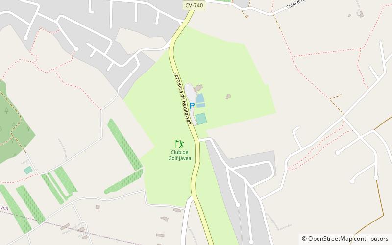
Club de Golf Jávea (address: Ctra. de Benitatxell, km. 45) is a place located in Xàbia (Valencia autonomous community) and belongs to the category of golf, outdoor activities.
It is situated at an altitude of 217 feet, and its geographical coordinates are 38°44'45"N latitude and 0°9'0"E longitude.
Among other places and attractions worth visiting in the area are: Benitachell / El Poble Nou de Benitatxell (locality, 54 min walk), Cave of the Barranc del Migdia (nature, 79 min walk), Teulada (locality, 93 min walk).
Coordinates: 38°44'45"N, 0°9'0"E
Day trips
Club de Golf Jávea – popular in the area (distance from the attraction)
Nearby attractions include: Platja La Barraca, Montgó Massif, Cave of the Barranc del Migdia, Torre del Gerro.


