Aitana
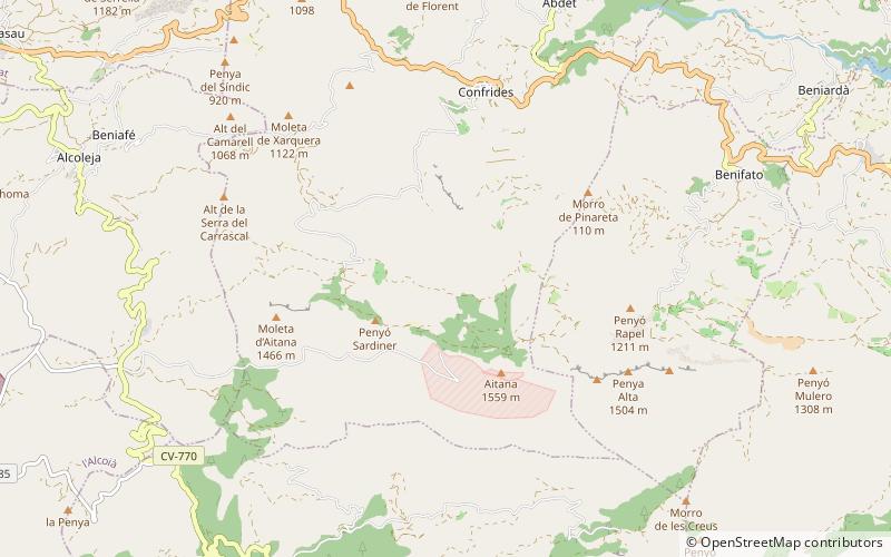
Map

Map

Facts and practical information
Aitana is a mountain massif that is part of Prebaetic System in the eastern end of the Iberian Peninsula. Administratively, the mountainous area is located in the Marina Baixa, Alcoià and Comtat comarcas in the northern part of Alicante province, Valencian Community, Spain. Its peak at 1,558 metres above sea level is the highest point of the province. ()
Local name: Sierra de Aitana Area: 7.72 mi²Maximum elevation: 9843 ftCoordinates: 38°39'39"N, 0°16'29"W
Location
Valencia
ContactAdd
Social media
Add
Day trips
Aitana – popular in the area (distance from the attraction)
Nearby attractions include: Puig Campana, El Castell de Guadalest, Archaeological Museum Camil Visedo, Museu Tortura.


