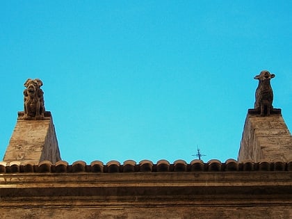
Benimaclet, Valencia

Facts and practical information
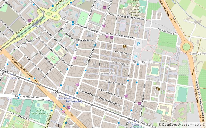
Benimaclet is a former village which is now part of the city of Valencia, Spain. The placename is of Arabic origin dating from Moorish times. It is located in the north east of the city and borders the districts of Orriols in the west, Alboraia in the north, the University of Valencia district in the East and the Primat Reig area in the south. Benimaclet is, by extension, the name of the postal district 46020 of the city of Valencia. This postal district unites the district with the recently urbanised neighbouring areas such as the Polytechnic University of Valencia district, which is known locally as camí de Vera. Extensive building in the last 30 years has meant that the final parts of the rural area known as l'horta have vanished in Benimaclet in recent years. ()
BenimacletValencia
Benimaclet – popular in the area (distance from the attraction)
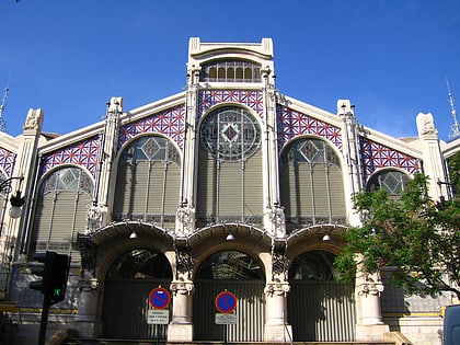
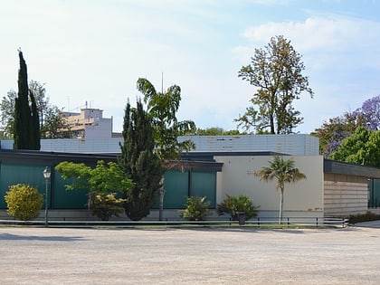
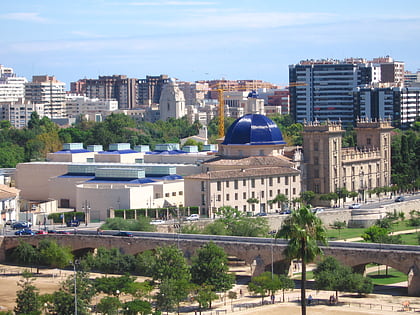
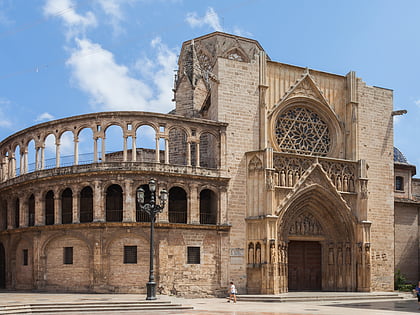
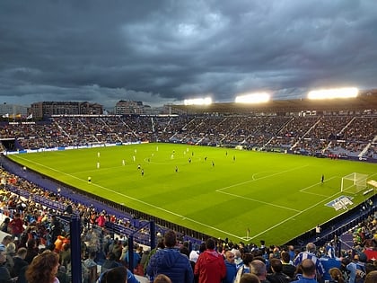
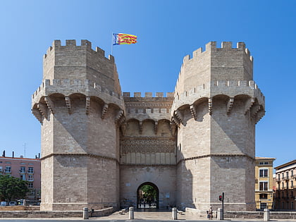
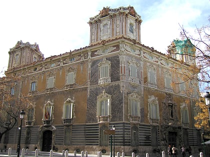
Nearby attractions include: Mercado Central, Museu de Ciències Naturals, Estadio Mestalla, Museu de Belles Arts de València.
Frequently Asked Questions (FAQ)
Which popular attractions are close to Benimaclet?
How to get to Benimaclet by public transport?
Bus
- Emili Baró - Manuel Castellanos • Lines: 12, 70 (3 min walk)
- Mistral - Murta • Lines: 10 (4 min walk)
Metro
- Benimaclet • Lines: 3, 9 (6 min walk)
- Machado • Lines: 3, 9 (10 min walk)
Tram
- Benimaclet • Lines: 4, 6 (6 min walk)
- Vicent Zaragozá • Lines: 4, 6 (8 min walk)

