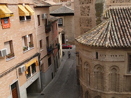
Baños de Tenerías, Toledo
Map
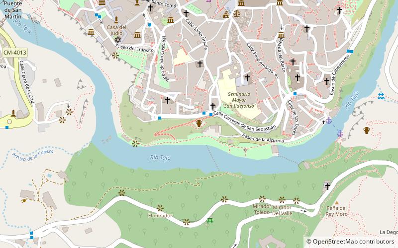
Map

Facts and practical information
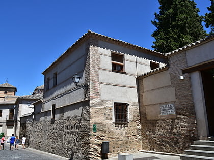
The Baños de Tenerías were a public bath in Toledo, Castile-La Mancha. The structure has been dated to the beginning of the 11th century, when Toledo was under Islamic rule, and formed one of the six Arab baths in the city. ()
Coordinates: 39°51'10"N, 4°1'34"W
Address
Toledo
ContactAdd
Social media
Add
Day trips
Baños de Tenerías – popular in the area (distance from the attraction)
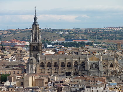
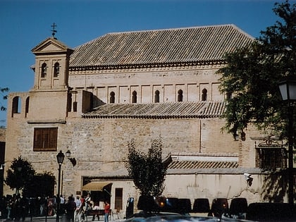
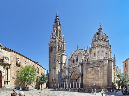
Nearby attractions include: Toledo Cathedral, Synagogue of El Transito, Santa María la Blanca, El Greco Museum.
Frequently Asked Questions (FAQ)
Which popular attractions are close to Baños de Tenerías?
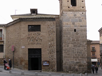
Nearby attractions include Church of San Sebastián, Toledo (2 min walk), Church of San Bartolomé, Toledo (4 min walk), Church of San Andrés, Toledo (4 min walk), Convento de Santa Isabel de los Reyes, Toledo (5 min walk).
How to get to Baños de Tenerías by public transport?
The nearest stations to Baños de Tenerías:
Bus
Train
Bus
- Caras. S. Sebastián • Lines: 12 (6 min walk)
Train
- Toledo (27 min walk)

