Playa de Levante, Marbella
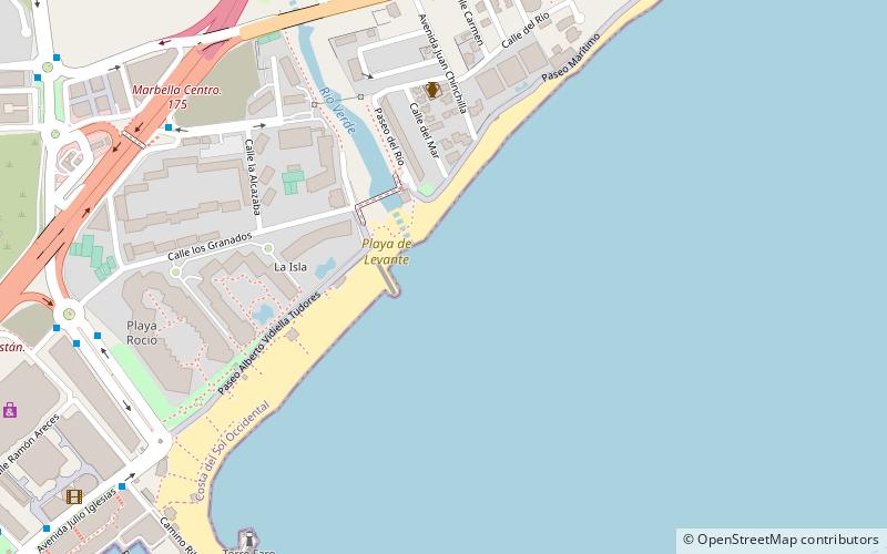
Map

Map

Facts and practical information
Playa de Levante is a beach in the municipality of La Línea de la Concepción, in the Province of Cádiz, Andalusia, Spain, located to the north of Gibraltar. It has a length of about 2.2 kilometres and average width of about 30 metres. It is a busy beach promenade enclosed by the city and on the south by the Playa de Santa Bárbara and the north of Playa de La Atunara. It has all the basic services required of an urban beach, daily waste collection season, toilets, showers and disabled access and presence of police and local rescue equipment. ()
Address
Marbella
ContactAdd
Social media
Add
Day trips
Playa de Levante – popular in the area (distance from the attraction)
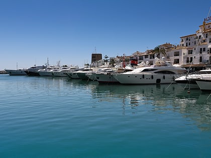
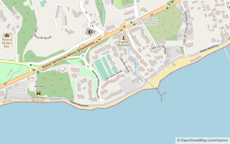
Nearby attractions include: King Abdul Aziz Mosque, Puerto Banús, Centro Plaza, Pier Zero Yachts.
Frequently Asked Questions (FAQ)
Which popular attractions are close to Playa de Levante?
Nearby attractions include Villa romana de Río Verde, Marbella (6 min walk), Puerto Banús, Marbella (15 min walk), Pier Zero Yachts, Marbella (20 min walk).
How to get to Playa de Levante by public transport?
The nearest stations to Playa de Levante:
Bus
Bus
- Hotel Meliá Dinamar • Lines: 1 (9 min walk)
- Hotel Coral Beach • Lines: 1 (9 min walk)


