Escarabote, Boiro

Gallery (1)
Map
Map
Facts and practical information
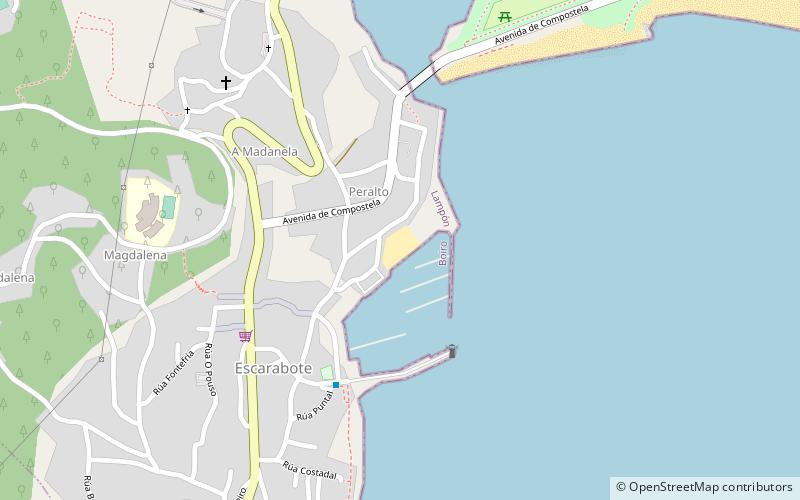
Escarabote is a place located in Boiro (Galicia autonomous community) and belongs to the category of beach.
It is situated at an altitude of 10 feet, and its geographical coordinates are 42°38'15"N latitude and 8°54'5"W longitude.
Among other places and attractions worth visiting in the area are: Castro de Achadizo (archaeological site, 44 min walk), A Pobra do Caramiñal (town, 77 min walk), A Illa de Arousa (island, 145 min walk).
Coordinates: 42°38'15"N, 8°54'5"W
Address
Boiro
ContactAdd
Social media
Add
Day trips