Sierra de Enguera
Map

Map

Facts and practical information
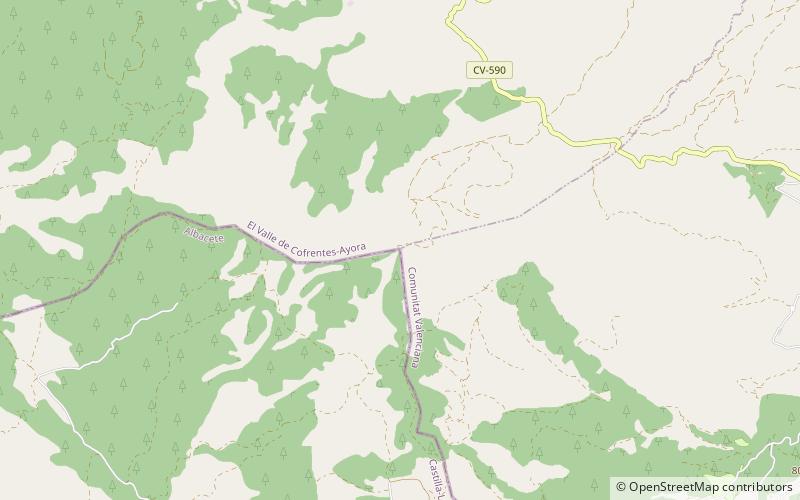
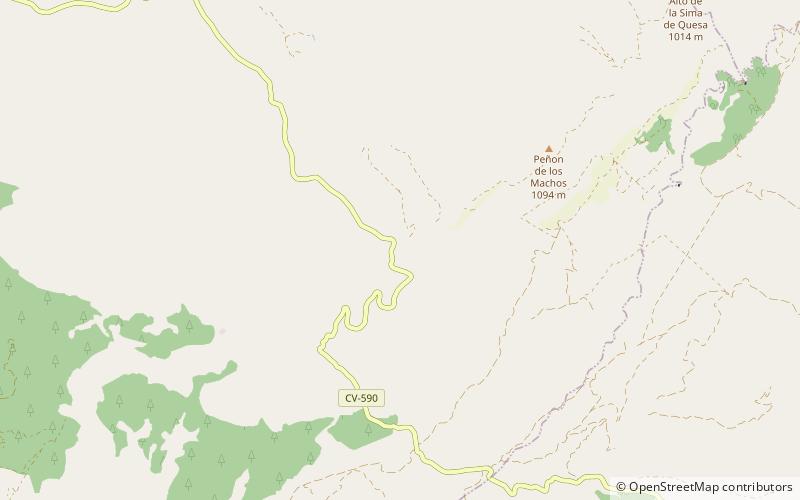
Sierra de Enguera is a 16.45 km long mountain range in the Canal de Navarrés and Valle de Cofrentes comarcas, Valencian Community, Spain. Its highest point is Altos de Salomón in the Caroig Massif. Other important peaks are Palmera, Cova Negra and Marc. ()
Elevation: 3465 ftCoordinates: 38°56'40"N, 0°57'34"W
Location
Castilla-La Mancha
ContactAdd
Social media
Add
Day trips
Sierra de Enguera – popular in the area (distance from the attraction)
Nearby attractions include: Alto del Buitre.

