Fundación Pedro Cano, Blanca

Gallery (1)
Map
Map
Facts and practical information
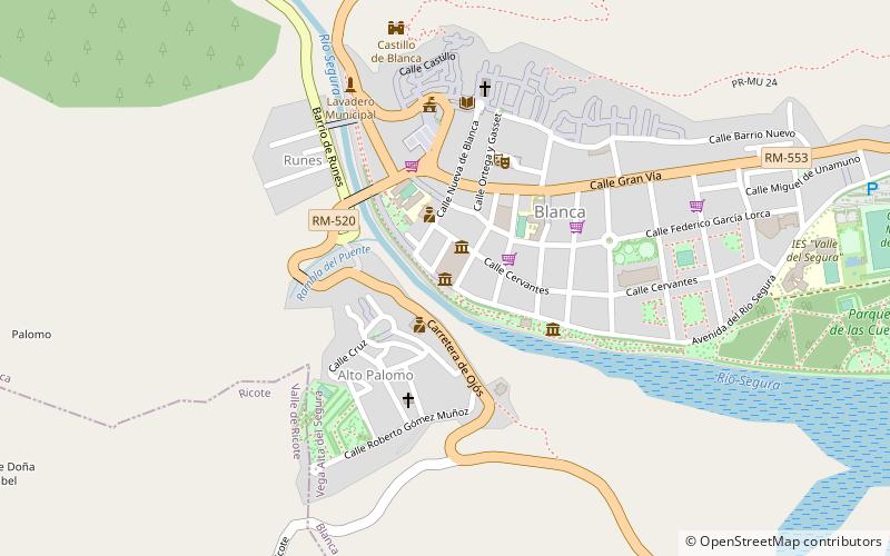
Fundación Pedro Cano (address: Avenida del Río Segura s/n) is a place located in Blanca (Murcia autonomous community) and belongs to the category of museum.
It is situated at an altitude of 479 feet, and its geographical coordinates are 38°10'40"N latitude and 1°22'35"W longitude.
Among other places and attractions worth visiting in the area are: Abarán (hotel, 51 min walk).
Coordinates: 38°10'40"N, 1°22'35"W
Address
Avenida del Río Segura s/nBlanca
ContactAdd
Social media
Add
Day trips
Fundación Pedro Cano – popular in the area (distance from the attraction)
Nearby attractions include: Abarán.
