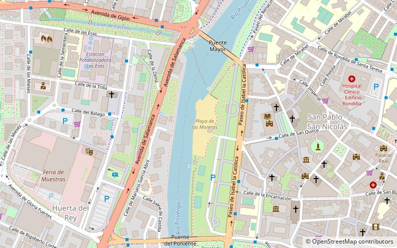
Playa de las Moreras, Valladolid


Facts and practical information
Playa de las Moreras is a place located in Valladolid (Castile and León autonomous community) and belongs to the category of watersports, swimming pool.
It is situated at an altitude of 2241 feet, and its geographical coordinates are 41°39'26"N latitude and 4°44'1"W longitude.
Planning a visit to this place, one can easily and conveniently get there by public transportation. Playa de las Moreras is a short distance from the following public transport stations: Plaza Poniente fte. Jorge Guillén (bus, 8 min walk), Valladolid - Campo Grande (train, 29 min walk).
Among other places and attractions worth visiting in the area are: Palacio de Fabio Nelli (museum, 7 min walk), Museo Herreriano (museum, 7 min walk), San Benito el Real (church, 8 min walk).
Distrito 9 (San Nicolás)Valladolid
Playa de las Moreras – popular in the area (distance from the attraction)
Nearby attractions include: Museo Nacional de Escultura, Colegio de San Gregorio, Valladolid Cathedral, Monument to Count Ansúrez.
Frequently Asked Questions (FAQ)
Which popular attractions are close to Playa de las Moreras?
How to get to Playa de las Moreras by public transport?
Bus
- Plaza Poniente fte. Jorge Guillén • Lines: 1, 24, 3, 4, 6, 8 (8 min walk)
- Paseo Isabel La Católica Rosaleda • Lines: Buho, Cigales-Valladolid (8 min walk)
Train
- Valladolid - Campo Grande (29 min walk)


