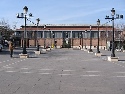
Mercado de Abastos, Aranjuez
Map
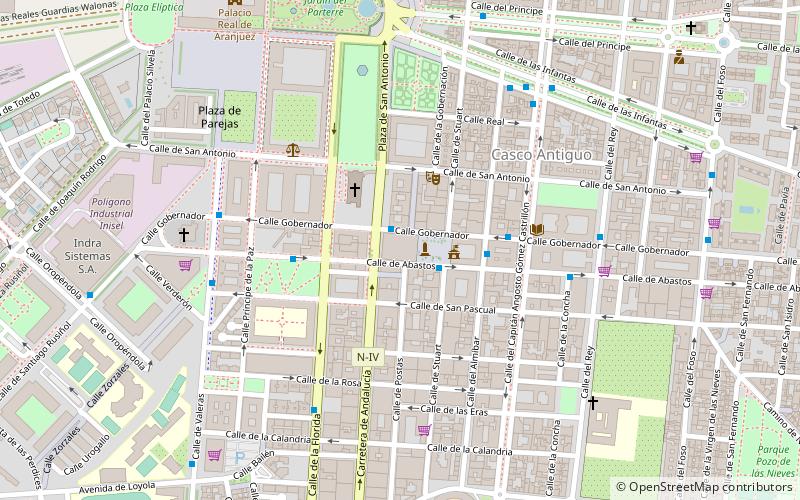
Map

Facts and practical information
The Mercado de Abastos is a building located in Aranjuez. It was inaugurated in 1894, designed by the Alicante architect Enrique Sánchez Sedeño, and its most important restoration in 1985 was carried out by the Spanish architect Enrique de Teresa.
In 1997 the city council ceded the exploitation of the market to a private company that finally acristala and conditioned the entire enclosure. Before the nineteenth century there was an open-air market, located in the same square.
Coordinates: 40°1'56"N, 3°36'17"W
Day trips
Mercado de Abastos – popular in the area (distance from the attraction)
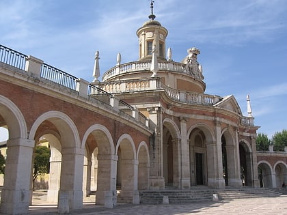
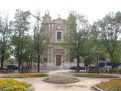
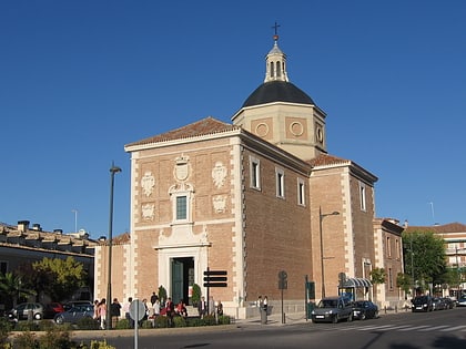
Nearby attractions include: Royal Palace of Aranjuez, San Antonio de Padua, Convento de San Pascual, Iglesia de Alpajés.
Frequently Asked Questions (FAQ)
Which popular attractions are close to Mercado de Abastos?
Nearby attractions include San Antonio de Padua, Aranjuez (3 min walk), Estatua de la reina Isabel II, Aranjuez (5 min walk), Convento de San Pascual, Aranjuez (8 min walk), Royal Palace of Aranjuez, Aranjuez (9 min walk).
How to get to Mercado de Abastos by public transport?
The nearest stations to Mercado de Abastos:
Bus
Train
Bus
- Ayuntamiento • Lines: 1, 4 (2 min walk)
- Calle Almibar • Lines: 4 (3 min walk)
Train
- Aranjuez (20 min walk)
