Argüelles, Madrid
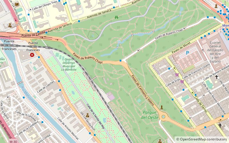
Map
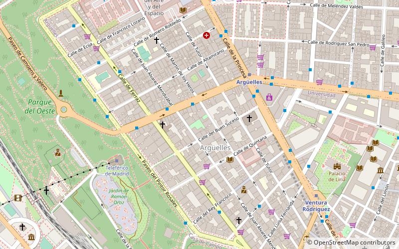
Map

Facts and practical information
Argüelles is an administrative neighbourhood of Madrid, part of the Moncloa-Aravaca district. As of 1 July 2019, it had a population of 24,257 inhabitants. It is 0,755758 km2 in total area. ()
Alternative names: Area: 186.75 acres (0.2918 mi²)Elevation: 2195 ft a.s.l.Coordinates: 40°25'45"N, 3°43'6"W
Address
11 Calle de la QuintanaMoncloa - Argüelles (Argüelles)Madrid
ContactAdd
Social media
Add
Day trips
Argüelles – popular in the area (distance from the attraction)
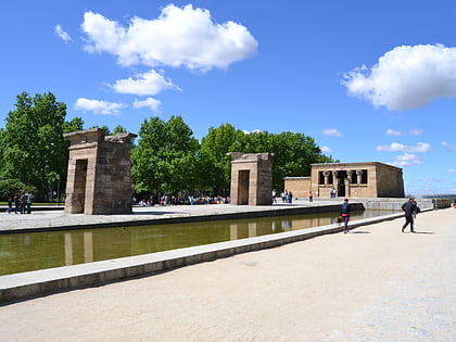
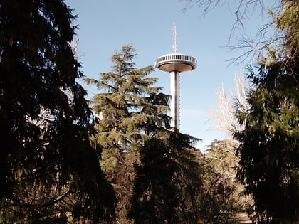
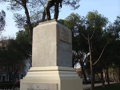
Nearby attractions include: Templo de Debod, Monument to Miguel de Cervantes, Parque del Oeste, Príncipe Pío Hill.
Frequently Asked Questions (FAQ)
Which popular attractions are close to Argüelles?
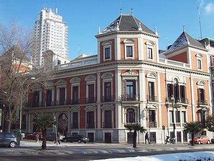
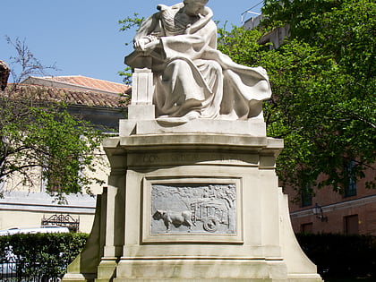
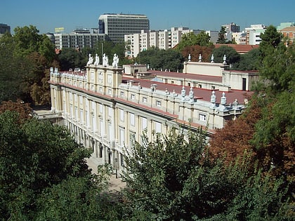
Nearby attractions include Calle de la Princesa, Madrid (4 min walk), Rosaleda del Parque del Oeste, Madrid (7 min walk), Liria Palace, Madrid (9 min walk), Statue of Emilia Pardo Bazán, Madrid (9 min walk).
How to get to Argüelles by public transport?
The nearest stations to Argüelles:
Bus
Metro
Train
Bus
- Mques. Urquijo - Martín de los Heros • Lines: 21 (2 min walk)
- Ferraz - Marqués de Urquijo • Lines: 62, 74 (3 min walk)
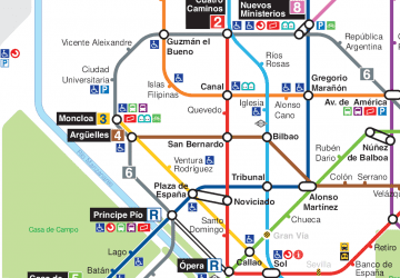
Metro
- Argüelles • Lines: L3, L4, L6 (4 min walk)
- Ventura Rodríguez • Lines: L3 (8 min walk)
Train
- Moncloa (8 min walk)
- Príncipe Pío (14 min walk)

 Metro
Metro


