Platja de L’Ahuir, Gandía

Gallery (1)
Map
Map
Facts and practical information
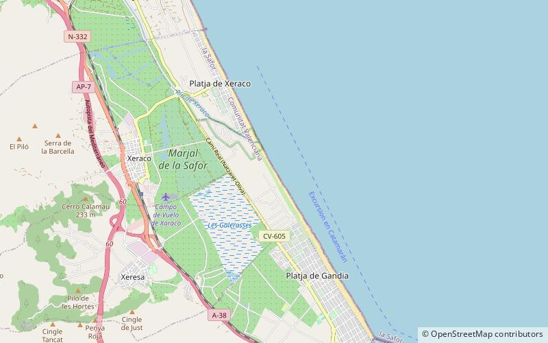
Platja de L’Ahuir is a place located in Gandía (Valencia autonomous community) and belongs to the category of beach.
It is situated at an altitude of 0 feet, and its geographical coordinates are 39°1'50"N latitude and 0°10'53"W longitude.
Among other places and attractions worth visiting in the area are: Platja de Xeraco (beach, 35 min walk), Torrelló del Pino (memorial, 108 min walk), Tavernes de la Valldigna (locality, 109 min walk).
Coordinates: 39°1'50"N, 0°10'53"W
Address
Gandía
ContactAdd
Social media
Add
Day trips


