Peña Montañesa

Gallery (2)
Map

Map
Gallery
Facts and practical information
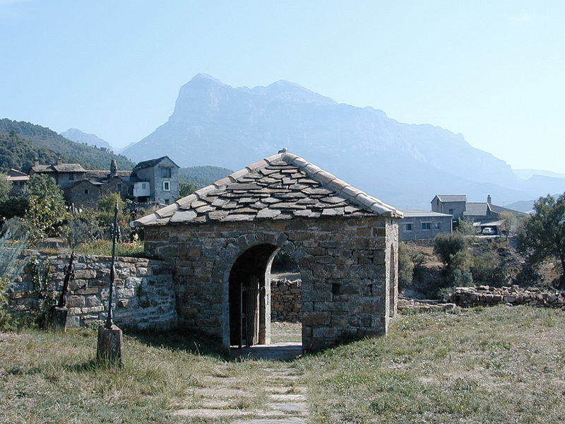
The Peña Montañesa is a conspicuous rocky mountainous outcrop of the Pre-Pyrenees. It is located east of the valley of the Cinca, in the Sobrarbe comarca, Aragon, Spain. The ridge's highest summit is 2295 m high. The village of Laspuña is located at the feet of the mountain. ()
Location
Aragon
ContactAdd
Social media
Add
Day trips


