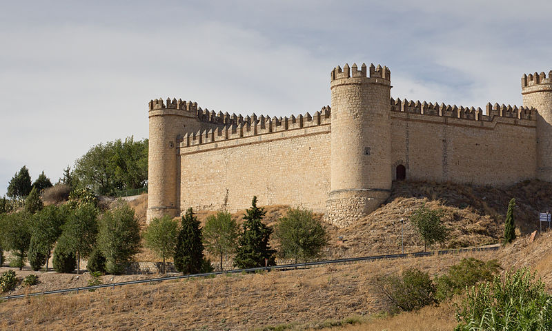
Castillo de la Vela, Maqueda

Gallery (2)
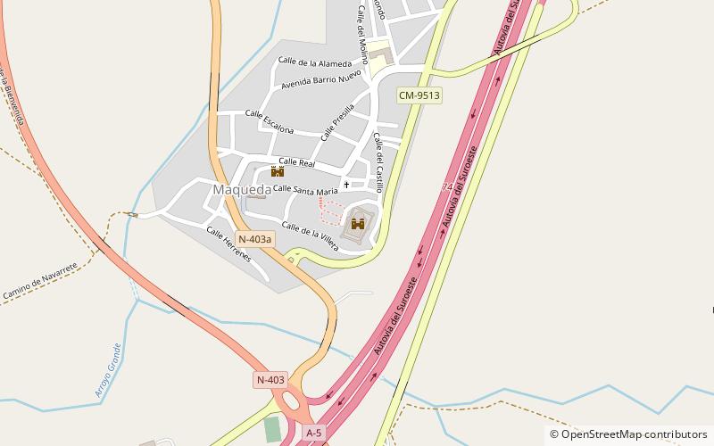
Map
Map
Gallery
Facts and practical information
Castillo de la Vela (address: Calle Villeta) is a place located in Maqueda (Castilla-La Mancha autonomous community) and belongs to the category of historical place, architecture, forts and castles.
It is situated at an altitude of 1614 feet, and its geographical coordinates are 40°3'53"N latitude and 4°22'9"W longitude.
Among other places and attractions worth visiting in the area are: Santa Olalla (village, 103 min walk).
Coordinates: 40°3'53"N, 4°22'9"W
Day trips
Castillo de la Vela – popular in the area (distance from the attraction)
Nearby attractions include: Santa Olalla.
