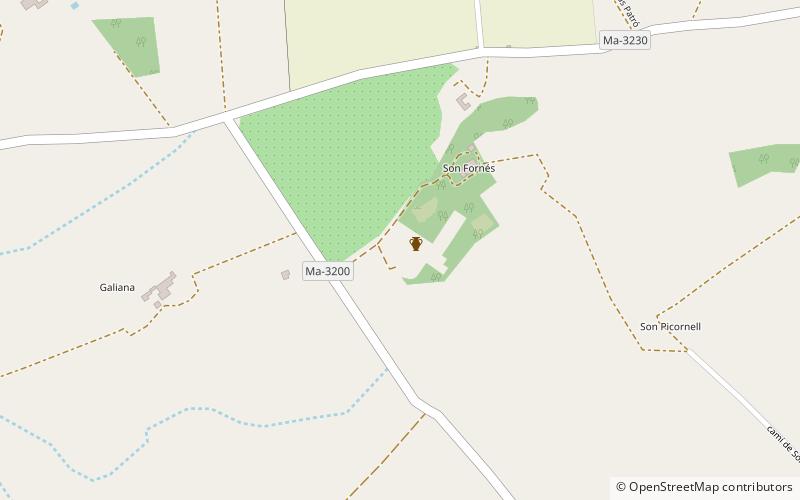
Son Fornés prehistoric village, Majorca


Facts and practical information
Son Fornés prehistoric village is a place located in Majorca (Balearic Islands autonomous community) and belongs to the category of museum.
It is situated at an altitude of 433 feet, and its geographical coordinates are 39°35'3"N latitude and 2°58'2"E longitude.
Planning a visit to this place, one can easily and conveniently get there by public transportation. Son Fornés prehistoric village is a short distance from the following public transport stations: C/ Palma, 29 (bus, 33 min walk).
Among other places and attractions worth visiting in the area are: Museu Arqueològic de Son Fornés (museum, 35 min walk), Montuïri (locality, 38 min walk), Lloret de Vistalegre (locality, 60 min walk).
Majorca
Son Fornés prehistoric village – popular in the area (distance from the attraction)
Nearby attractions include: Astronomical Observatory of Mallorca, Puig de Randa, Els Calderers, Santuari de Cura.
Frequently Asked Questions (FAQ)
How to get to Son Fornés prehistoric village by public transport?
Bus
- C/ Palma, 29 • Lines: 406b (33 min walk)
- Plaça Pou des Dau • Lines: 406b, 421 (36 min walk)


