Cruz de Ferro
Map

Gallery

Facts and practical information
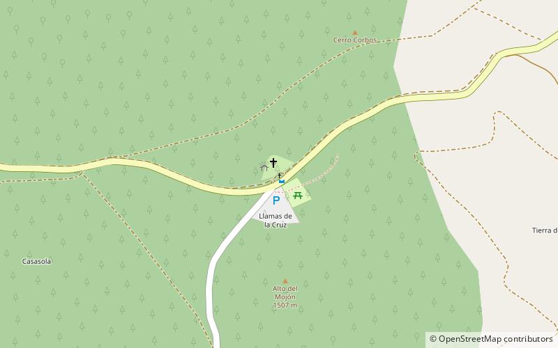
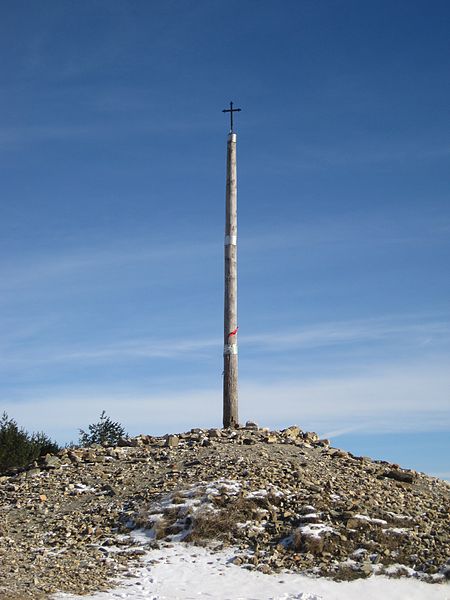
La Cruz de Hierro is a crossroads located at the highest point of the French Way of Saint James, at about 1500 m.a.s.l. It is situated between the Spanish towns of Foncebadón and Manjarín, belonging to the municipality of Santa Colomba de Somoza.
Location
Castile and León
ContactAdd
Social media
Add
Day trips
Cruz de Ferro – popular in the area (distance from the attraction)
Nearby attractions include: Montes de León, Santa Colomba de Somoza.


