Serra del Montsià
Map
![Serra del Montsià location map](https://tzmedia.b-cdn.net/media/images/static-maps/es/40_6239_0_54472.jpg)
Gallery
![Serra del Montsià](https://tzmedia.b-cdn.net/media/images/es/place/gallery/medium/ed47e3d17e85eafaf1aaa7e5a0d20c46.jpg)
Facts and practical information
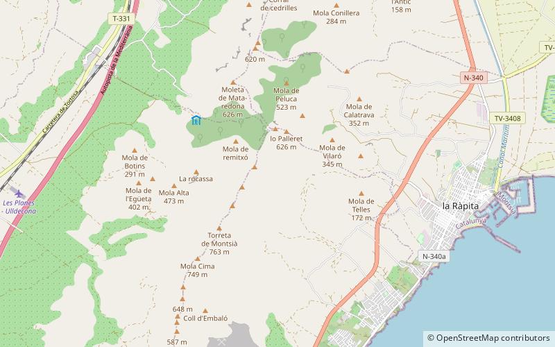
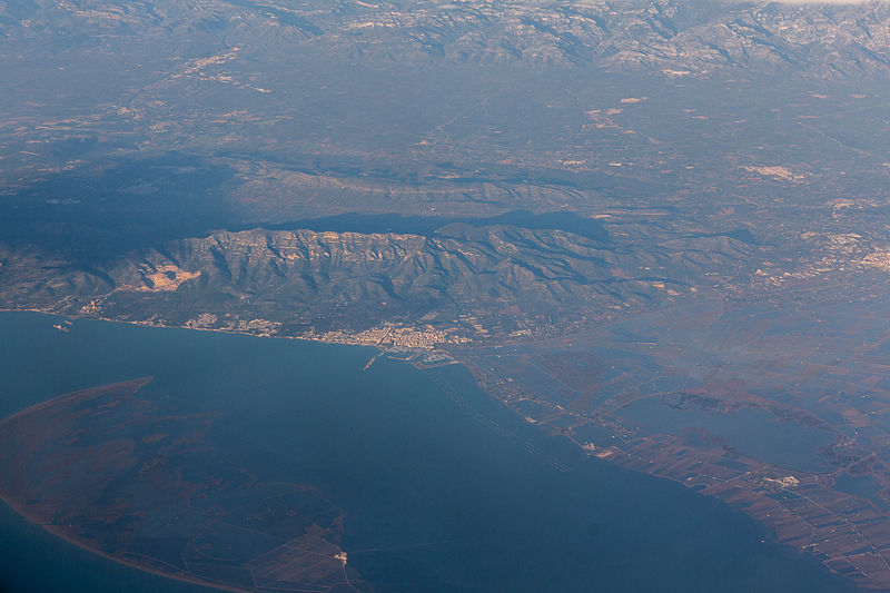
Serra del Montsià is a 14.5 km long mountain range in Catalonia. It gives its name to the Montsià, the southernmost comarca of Catalonia. Its highest point is 764 m high La Torreta. ()
Location
Catalonia
ContactAdd
Social media
Add
Day trips
Serra del Montsià – popular in the area (distance from the attraction)
Nearby attractions include: Molacima, La Foradada, Sant Carles de la Ràpita, Biblioteca d'Ulldecona.