Puerta de Hierro, Madrid
Map
Gallery
Facts and practical information
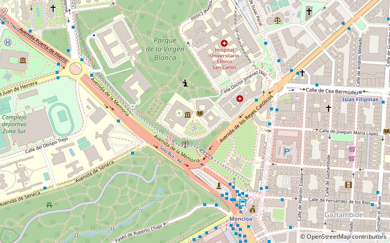
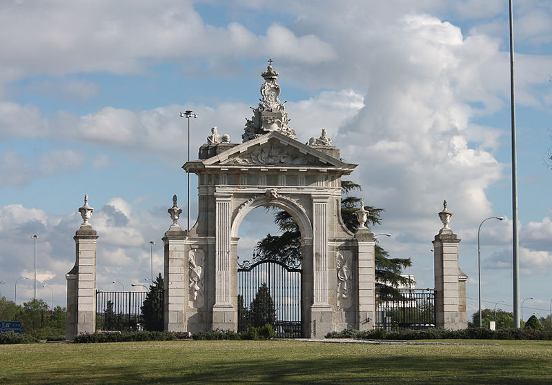
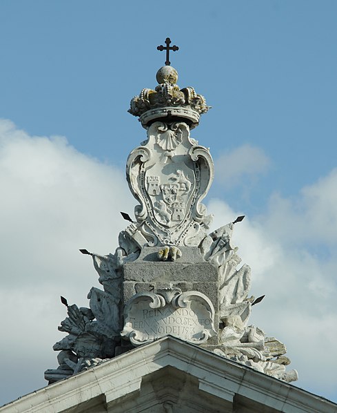
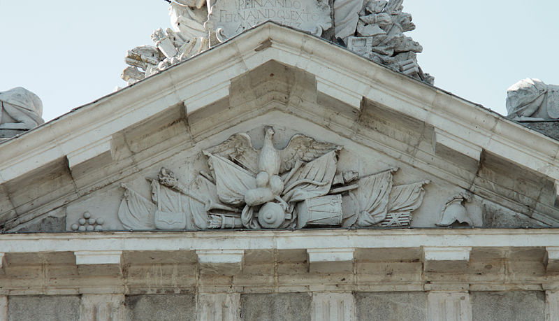
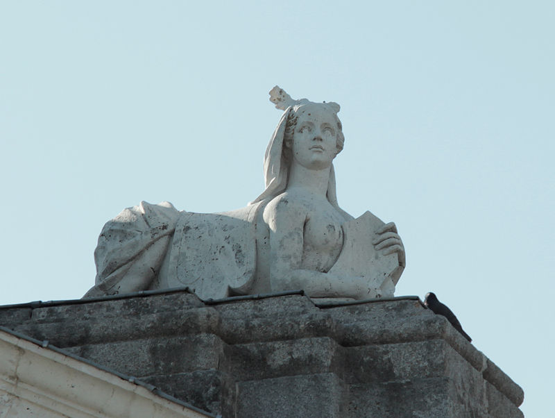
Puerta de Hierro is a monument of the second half of the 18th century, located in the northwest of Madrid, Spain, in the district of Moncloa near the Monte de El Pardo. It occupies a landscaped traffic island, defined by several branches of the highway A-6 and M-30, an enclave which is difficult to access. It is built in classical Baroque style. ()
Alternative names: Completed: 1753 (273 years ago)Architectural style: BaroqueCoordinates: 40°27'20"N, 3°44'40"W
Address
Moncloa - Argüelles (Ciudad Universitaria)Madrid
ContactAdd
Social media
Add
Day trips
Puerta de Hierro – popular in the area (distance from the attraction)
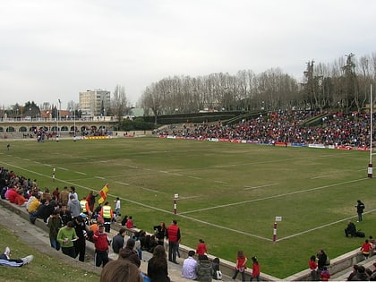
Nearby attractions include: Museo de América, Estadio Nacional Complutense, Hipódromo de la Zarzuela, Ulmus minor 'Dehesa de Amaniel'.
Frequently Asked Questions (FAQ)
How to get to Puerta de Hierro by public transport?
The nearest stations to Puerta de Hierro:
Bus
Metro
Bus
- Parque Deportivo Puerta de Hierro • Lines: 133, 601, 83 (7 min walk)
- Av. Padre Huidobro - Pte. San Fernando • Lines: 162 (9 min walk)
Metro
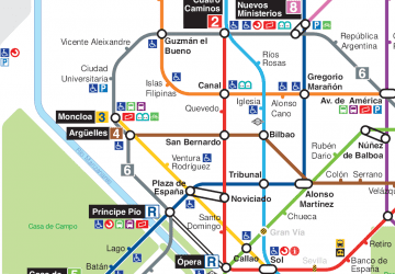
- Ciudad Universitaria • Lines: L6 (32 min walk)



 Metro
Metro
