Galician Massif

Gallery (1)
Map
Map
Facts and practical information
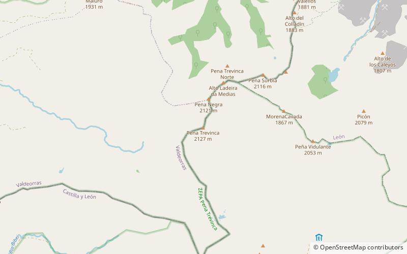
The Galician Massif is a system of mountain ranges in the northwestern corner of the Iberian Peninsula. It is located in Galicia with its southeastern end reaching into the provinces of Zamora and León of Castile and León. Its highest point is Pena Trevinca at 2,127 metres. Another important peak is Cabeza de Manzaneda. ()
Location
Galicia
ContactAdd
Social media
Add
Day trips

