Augusta Golf Calatayud, Calatayud
Map
Map

Facts and practical information
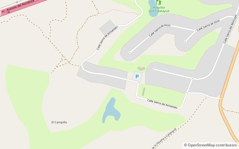
Augusta Golf Calatayud (address: Carretera Monasterio de Piedra) is a place located in Calatayud (Aragon autonomous community) and belongs to the category of golf.
It is situated at an altitude of 1969 feet, and its geographical coordinates are 41°19'2"N latitude and 1°40'38"W longitude.
Among other places and attractions worth visiting in the area are: Paracuellos de Jiloca (locality, 51 min walk), Santuario de la Virgen de la Peña (church, 76 min walk), San Juan el Real (church, 77 min walk).
Coordinates: 41°19'2"N, 1°40'38"W
Day trips
Augusta Golf Calatayud – popular in the area (distance from the attraction)
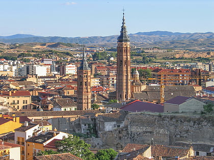
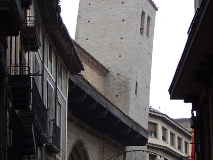
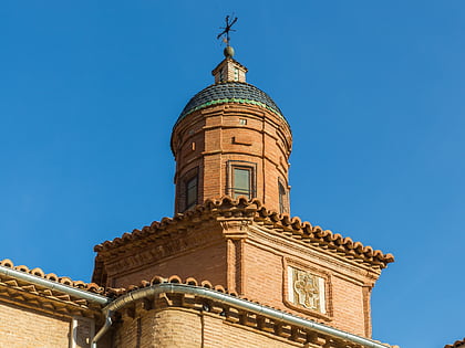
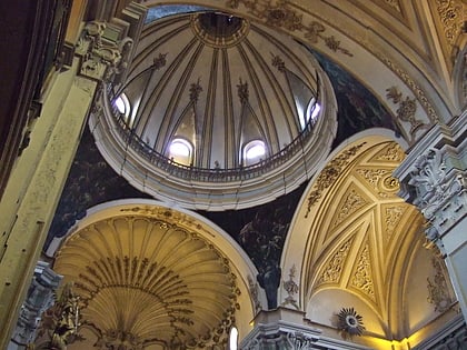
Nearby attractions include: Colegiata de Santa Maria la Mayor, Church of San Pedro de los Francos, San Andrés, San Juan el Real.

