Playa de San Lorenzo, Melilla
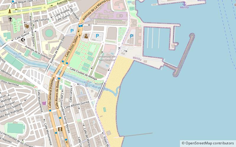
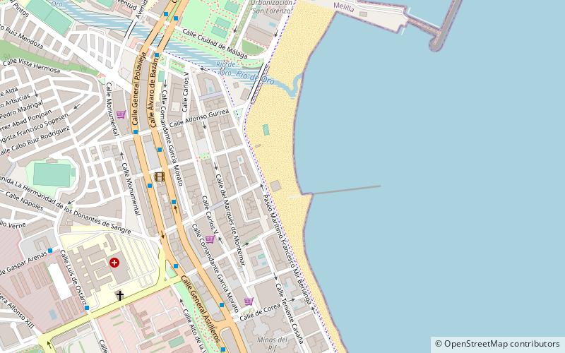
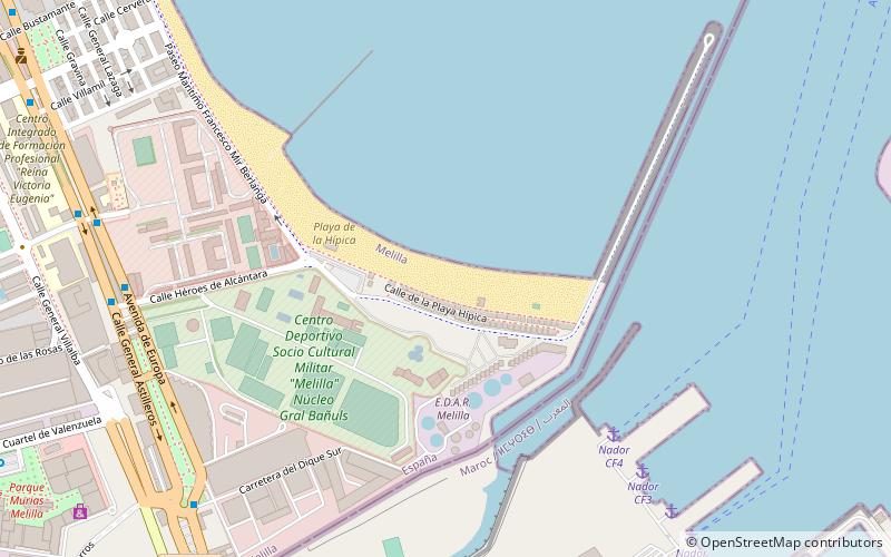
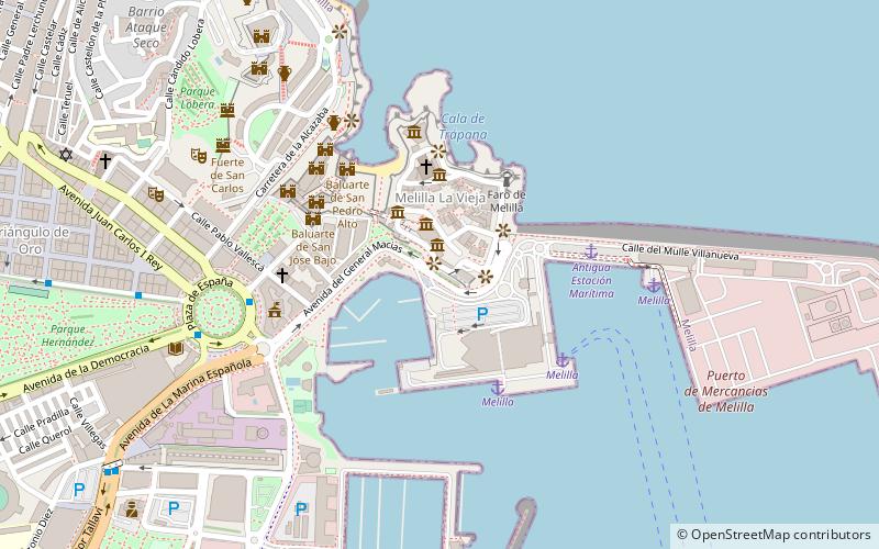
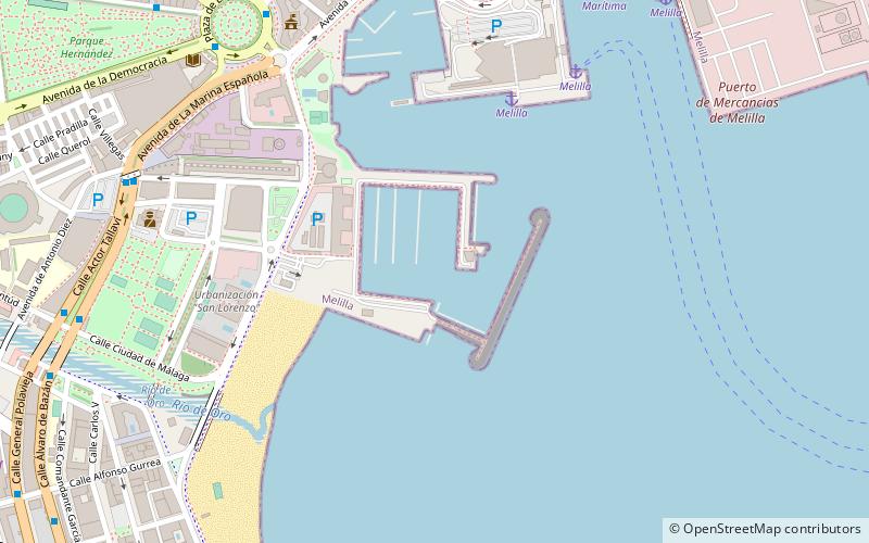
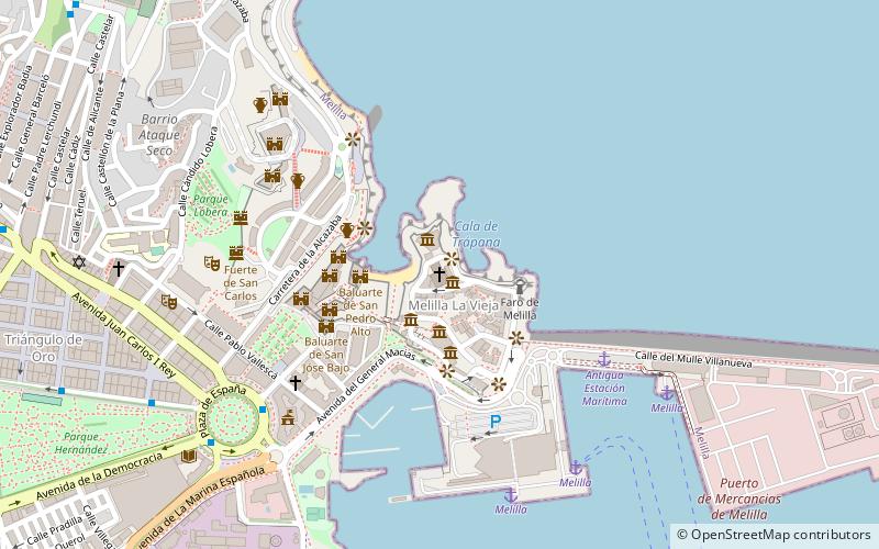
Map
Facts and practical information
Playa de San Lorenzo is a place located in Melilla (Ceuta and Melilla autonomous city) and belongs to the category of beach, outdoor activities, park.
It is situated at an altitude of 33 feet, and its geographical coordinates are 35°17'12"N latitude and 2°56'14"W longitude.
Planning a visit to this place, one can easily and conveniently get there by public transportation. Playa de San Lorenzo is a short distance from the following public transport stations: Melilla (ferry, 12 min walk).
Among other places and attractions worth visiting in the area are: Dársena del Puerto Deportivo de Melilla (sailing, 6 min walk), Playa de los Carabos (beach, 6 min walk), Dársena Pesquera (sailing, 10 min walk).
Elevation: 33 ft a.s.l.Coordinates: 35°17'12"N, 2°56'14"W
Address
Melilla
ContactAdd
Social media
Add
Getting there by public transportation
Public transportation stops near this location
- Ferry
 Ferry
Ferry
- Calculate routeMelilla 12 min walk
Day trips


Frequently Asked Questions (FAQ)
Which popular attractions are close to Playa de San Lorenzo?
Nearby attractions include Dársena del Puerto Deportivo de Melilla, Melilla (6 min walk), Playa de los Carabos, Melilla (6 min walk), Dársena Pesquera, Melilla (10 min walk), Parque Hernández, Melilla (12 min walk).
How to get to Playa de San Lorenzo by public transport?
The nearest stations to Playa de San Lorenzo:
Ferry
Ferry
- Melilla (12 min walk)