Protección Civil, Ronda

Facts and practical information
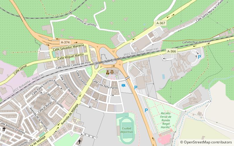
Protección Civil (address: Plaza Carlos Cano S/N) is a place located in Ronda (Andalusia autonomous community) and belongs to the category of sightseeing.
It is situated at an altitude of 2365 feet, and its geographical coordinates are 36°45'12"N latitude and 5°8'54"W longitude.
Planning a visit to this place, one can easily and conveniently get there by public transportation. Protección Civil is a short distance from the following public transport stations: Ronda (train, 21 min walk), Estación de Autobuses de Ronda (bus, 28 min walk).
Among other places and attractions worth visiting in the area are: Puente Viejo (historical place, 32 min walk), Baños Árabes (ruins, 33 min walk), La Casa Del Rey Moro (historical place, 33 min walk).
Plaza Carlos Cano S/NRonda
Protección Civil – popular in the area (distance from the attraction)
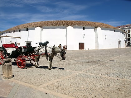
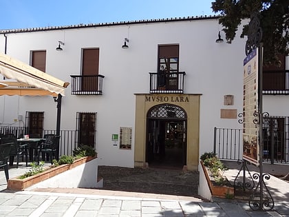
Nearby attractions include: Plaza de Toros de Ronda, Puente Nuevo, Puente Viejo, Museo Lara.
Frequently Asked Questions (FAQ)
How to get to Protección Civil by public transport?
Train
- Ronda (21 min walk)
Bus
- Estación de Autobuses de Ronda (28 min walk)

