Sierra de Caballos
Map

Gallery

Facts and practical information
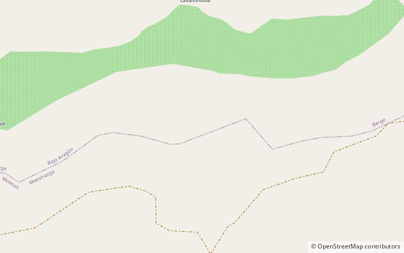
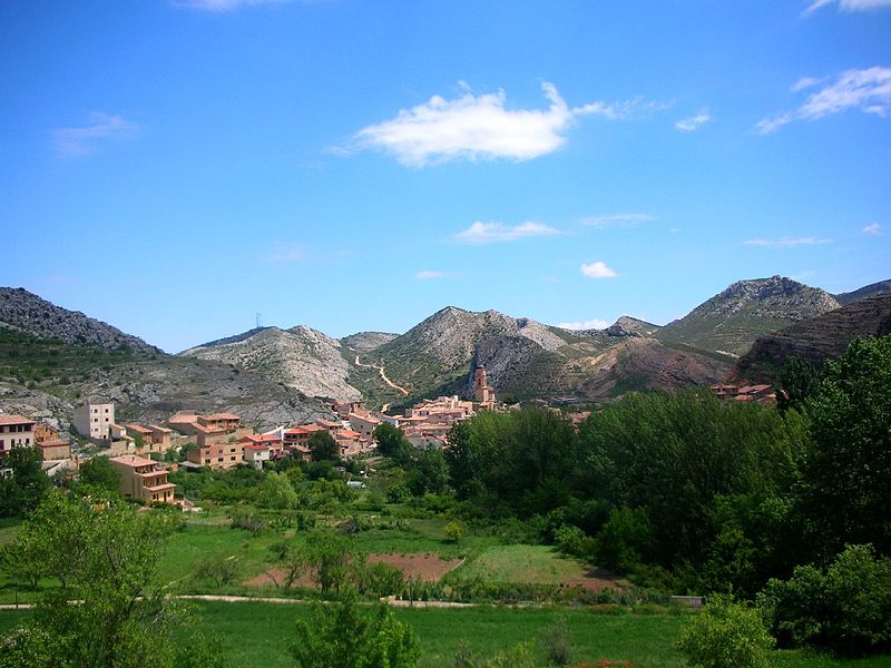
Sierra de Caballos or Sierra de los Caballos is a mountain range in the Maestrazgo and Bajo Aragón comarcas of Aragon, Teruel Province, Spain. The highest point in the range is Las Artigas. The Guadalopillo River flows along the northern side of the range. ()
Maximum elevation: 3953 ftCoordinates: 40°49'57"N, 0°25'26"W
Location
Aragon
ContactAdd
Social media
Add
Day trips
Sierra de Caballos – popular in the area (distance from the attraction)
Nearby attractions include: Ruinas Castillo Templario, Casa de Cultura y Biblioteca, Alcorisa.


