Castillo de Matagorda, Cádiz
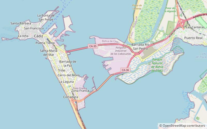
Map
Gallery
Facts and practical information
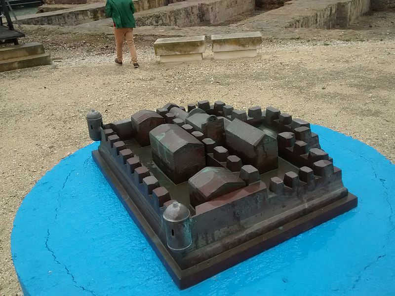
Matagorda Castle, also referred to as Matagorda Fort or Matagorda Tower was a fortification located on the shores of the Bay of Cádiz, in Spain. The fort was located on the other side of the Castillo de San Lorenzo del Puntal, which together with the Fort of San Luis formed a network of fortifications protecting the entrance to the bay. The remains of the castle can still be visited inside the facilities of the Shipyards of Puerto Real.
Coordinates: 36°30'52"N, 6°14'59"W
Address
Cádiz
ContactAdd
Social media
Add
Day trips
Castillo de Matagorda – popular in the area (distance from the attraction)
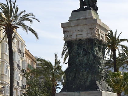
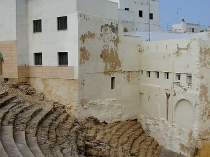
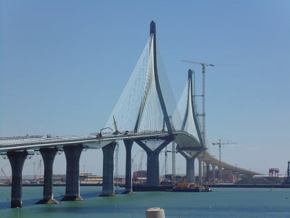
Nearby attractions include: Nuevo Mirandilla, Monument to Moret, Roman Theatre, La Pepa Bridge.
Frequently Asked Questions (FAQ)
How to get to Castillo de Matagorda by public transport?
The nearest stations to Castillo de Matagorda:
Bus
Bus
- Ronda de Vigilancia 1 • Lines: 2 (35 min walk)
- Calle Algeaciras • Lines: 5 (37 min walk)


