Xirivella, Valencia
Map
Map

Facts and practical information
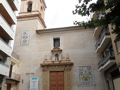
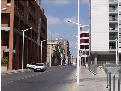
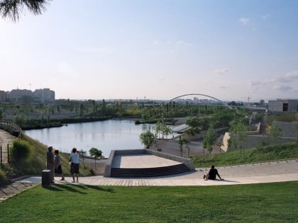
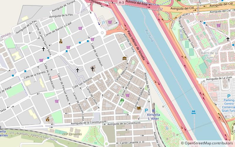
Xirivella is a municipality in the Valencian Community, Spain. It borders the city of Valencia, Alaquàs, Picanya and Mislata. The municipality is divided by the V-30 motorway and the river Turia, with the La Luz district on the eastern part of the river. Since June 2012, a bridge across the motorway has connected both parts. Local issues include noise pollution, caused by the nearby Valencia Airport ()
Day trips
Xirivella – popular in the area (distance from the attraction)
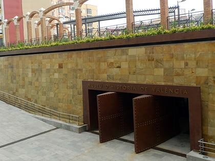
Nearby attractions include: Bioparc Valencia, Valencia History Museum, Mislata, Quart de Poblet.
Frequently Asked Questions (FAQ)
How to get to Xirivella by public transport?
The nearest stations to Xirivella:
Bus
Train
Metro
Bus
- Camí Nou, 9 • Lines: 160, 161, 164, 170 (5 min walk)
Train
- Xirivella L´Alter (6 min walk)
- Xirivella - Alqueries (13 min walk)
Metro
- Mislata • Lines: 3, 5, 9 (17 min walk)
- Mislata-Almassil • Lines: 3, 5, 9 (18 min walk)
