Calle de la Montera, Madrid
Map
Map

Facts and practical information
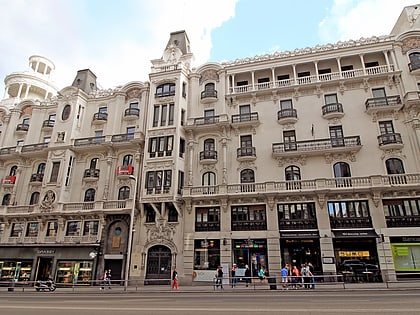
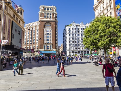
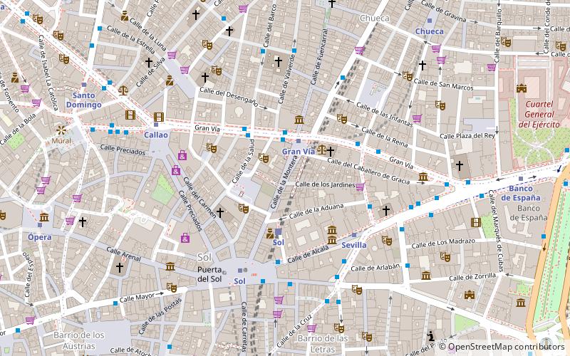
The Calle de la Montera is a pedestrian street in the centre of Madrid. Starting from the south, it links the Puerta del Sol and the so-called Red de San Luis. It presents a south-north positive slope. ()
Address
Centro Madrid (Sol)Madrid
ContactAdd
Social media
Add
Day trips
Calle de la Montera – popular in the area (distance from the attraction)
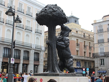
Nearby attractions include: Gran Vía, Puerta del Sol, Calle de Fuencarral, Statue of the Bear and the Strawberry Tree.
Frequently Asked Questions (FAQ)
Which popular attractions are close to Calle de la Montera?
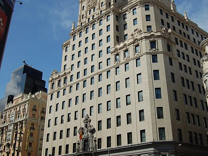
Nearby attractions include La Carmen, Madrid (2 min walk), Muñoz Seca Theater, Madrid (3 min walk), Oratory of the Caballero de Gracia, Madrid (3 min walk), Telefónica Building, Madrid (3 min walk).
How to get to Calle de la Montera by public transport?
The nearest stations to Calle de la Montera:
Bus
Metro
Train
Bus
- Gran Vía - Montera • Lines: 002 (2 min walk)
- Gran Vía - Salud • Lines: 1, 146, 2, 46, 74, N18, N19, N20, N21 (3 min walk)
Metro
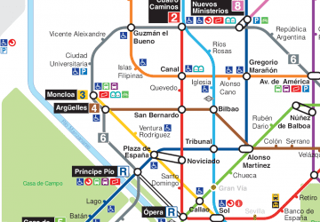
- Gran Vía • Lines: L1, L5 (2 min walk)
- Sevilla • Lines: L2 (4 min walk)
Train
- Sol (3 min walk)
- Recoletos (16 min walk)

 Metro
Metro


