Praga Bridge, Madrid
Map
Map

Facts and practical information
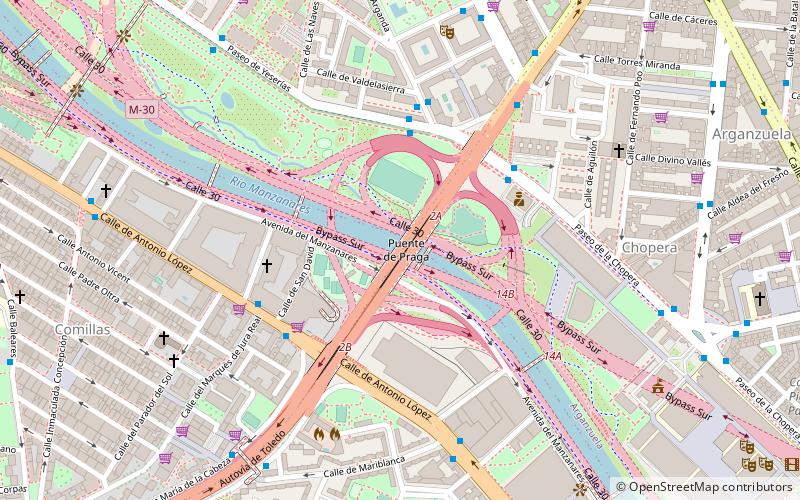
The Praga Bridge is a bridge in Madrid, Spain. Crossing over the Manzanares, it is part of the Paseo de Santa María de la Cabeza, that eventually becomes the A-42 south of the river. ()
Address
Usera (Comillas)Madrid
ContactAdd
Social media
Add
Day trips
Praga Bridge – popular in the area (distance from the attraction)
Nearby attractions include: Museo Nacional Centro de Arte Reina Sofía, Lavapiés, El Rastro, Estadio Vicente Calderón.
Frequently Asked Questions (FAQ)
Which popular attractions are close to Praga Bridge?
Nearby attractions include Arganzuela Footbridge, Madrid (1 min walk), Las Acacias, Madrid (11 min walk), Matadero Madrid, Madrid (12 min walk), Comillas, Madrid (14 min walk).
How to get to Praga Bridge by public transport?
The nearest stations to Praga Bridge:
Bus
Metro
Train
Bus
- Pº Yeserías - Arganda • Lines: 18, N12 (4 min walk)
- Pº Chopera - Pº Sta. Mª de la Cabeza • Lines: 18, 62, N12 (4 min walk)
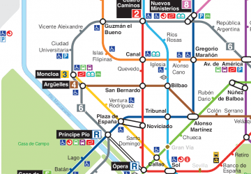
Metro
- Usera • Lines: L6 (13 min walk)
- Legazpi • Lines: L3, L6 (15 min walk)
Train
- Pirámides (16 min walk)
- Embajadores (19 min walk)

 Metro
Metro


