Playa del Socorro, Los Realejos

Gallery (1)
Map
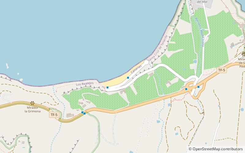
Map
Facts and practical information
Playa del Socorro is a place located in Los Realejos (Canary Islands autonomous community) and belongs to the category of beach, park, outdoor activities.
It is situated at an altitude of 39 feet, and its geographical coordinates are 28°23'40"N latitude and 16°36'9"W longitude.
Among other places and attractions worth visiting in the area are: Iglesia de Nuestra Señora de la Concepción (church, 27 min walk), Shrine of Our Lady of Mount Carmel, Tenerife (church, 28 min walk), Molino de Gofio del Risco de las Pencas, Tenerife (watermill, 39 min walk).
Elevation: 39 ft a.s.l.Coordinates: 28°23'40"N, 16°36'9"W
Address
Los Realejos
ContactAdd
Social media
Add
Day trips