Castillejos, Madrid
Map
Map

Facts and practical information
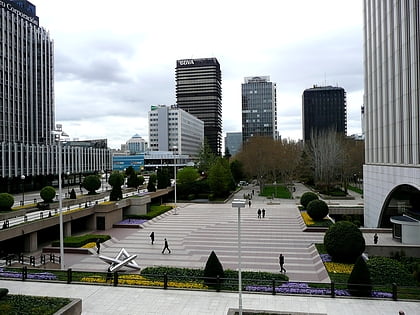
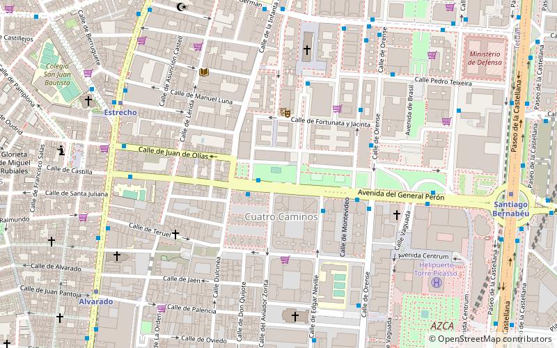
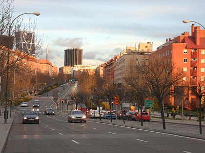
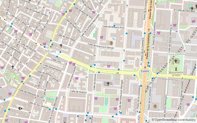
Castillejos is an administrative neighborhood of Madrid located in the district of Tetuán. It has an area of 0.708501 km2. As of February 2020, it has a population of 20,870. ()
Address
Tetúan (Castillejos)Madrid
ContactAdd
Social media
Add
Day trips
Castillejos – popular in the area (distance from the attraction)
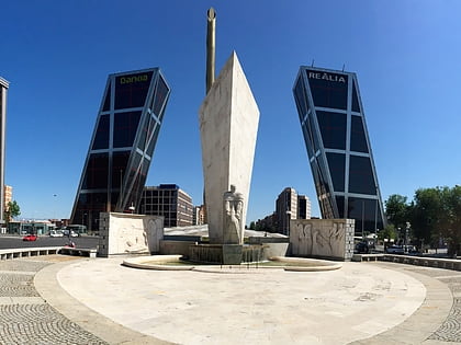
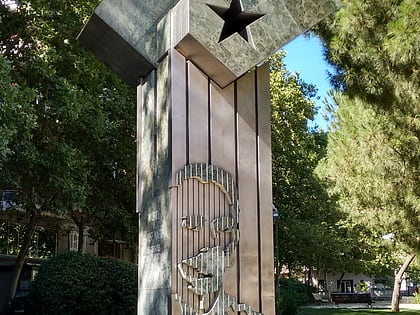
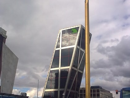
Nearby attractions include: Santiago Bernabéu Stadium, Castellana 81, Monument to Calvo Sotelo, Plaza de Pablo Ruiz Picasso.
Frequently Asked Questions (FAQ)
Which popular attractions are close to Castillejos?
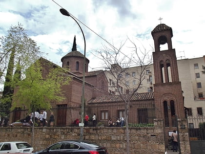
Nearby attractions include Mezquita Central de Madrid, Madrid (11 min walk), Mercado de San Enrique, Madrid (12 min walk), Monument to Calvo Sotelo, Madrid (12 min walk), Caja Madrid Obelisk, Madrid (13 min walk).
How to get to Castillejos by public transport?
The nearest stations to Castillejos:
Bus
Metro
Train
Bus
- Orense - Sor Ángela Cruz • Lines: 149 (1 min walk)
- Sor Ángela de la Cruz - Orense • Lines: 11 (2 min walk)
Metro
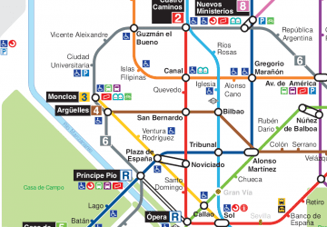
- Cuzco • Lines: L10 (6 min walk)
- Tetuán • Lines: L1 (6 min walk)
Train
- Nuevos Ministerios (26 min walk)

 Metro
Metro
