Valdebebas, Madrid
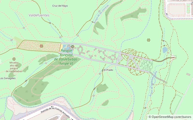
Map
Facts and practical information
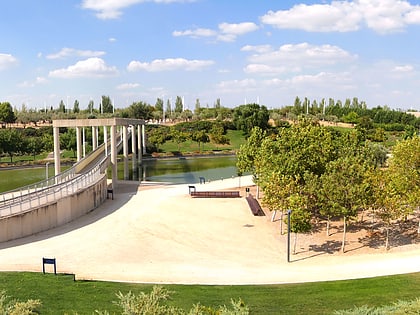
Valdebebas is an urban development under construction in the city of Madrid, Spain near Barajas Airport. It will host around 12,500 apartments and houses for a population of 40,000 inhabitants. The Valdebebas Woodland Park is being constructed with an area of 500 hectares. The neighbourhood will also have retail spaces, offices, hotels, and public facilities. ()
Address
Hortaleza (Valdefuentes)Madrid
ContactAdd
Social media
Add
Day trips
Valdebebas – popular in the area (distance from the attraction)
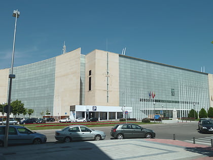
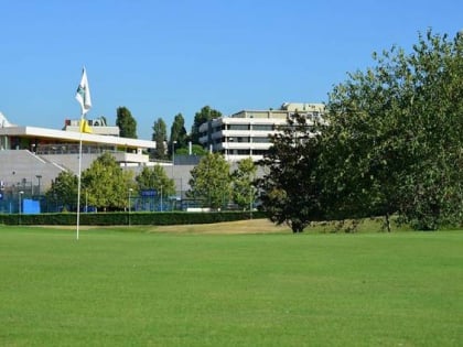
Nearby attractions include: Golf La Moraleja, El Capricho Park, Parque Juan Carlos I, IFEMA Palacio Municipal.
Frequently Asked Questions (FAQ)
How to get to Valdebebas by public transport?
The nearest stations to Valdebebas:
Bus
Train
Light rail
Metro
Bus
- Murias de Paredes - Moreruela • Lines: 87 (13 min walk)
- Mombuey - Robla • Lines: 87 (15 min walk)
Train
- Valdebebas (24 min walk)
Light rail
- Álvarez de Villaamil • Lines: Ml1 (29 min walk)
Metro
- San Lorenzo • Lines: L4 (31 min walk)
- Parque de Santa María • Lines: L4 (31 min walk)
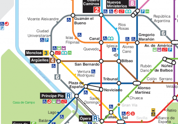 Metro
Metro

