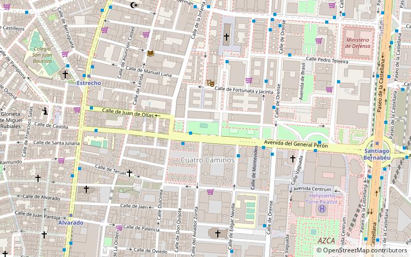
Bellas Vistas, Madrid
Map
Facts and practical information
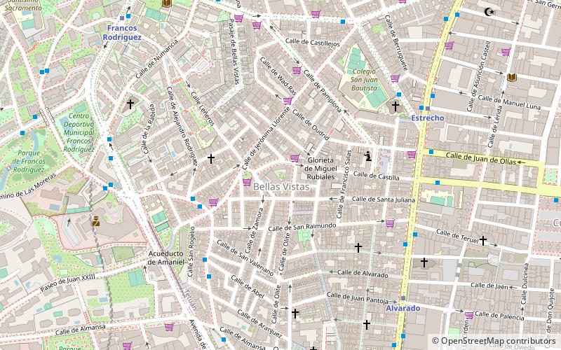
Bellas Vistas is an administrative neighborhood of Madrid, part of the district of Tetuán. It has an area of 0.716261 km2. As of 1 February 2020, it has a population of 29,993. It was created as slum of the north of the city, on the west side of the Road of France, currently the calle de Bravo Murillo. ()
Address
Tetúan (Bellas Vistas)Madrid
ContactAdd
Social media
Add
Day trips
Bellas Vistas – popular in the area (distance from the attraction)
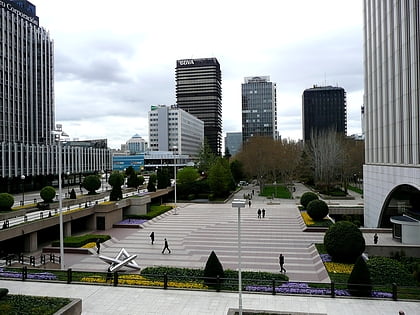
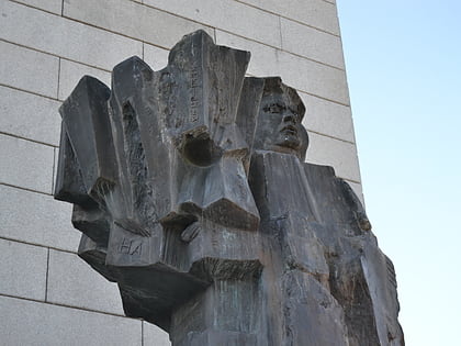
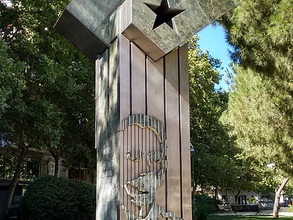
Nearby attractions include: Santiago Bernabéu Stadium, Castellana 81, Plaza de Pablo Ruiz Picasso, Statue of Indalecio Prieto.
Frequently Asked Questions (FAQ)
Which popular attractions are close to Bellas Vistas?
Nearby attractions include Church of San Francisco de Sales, Madrid (6 min walk), Mercado Maravillas, Madrid (9 min walk), Calle de Bravo Murillo, Madrid (10 min walk), Mercado de San Enrique, Madrid (11 min walk).
How to get to Bellas Vistas by public transport?
The nearest stations to Bellas Vistas:
Bus
Metro
Train
Bus
- Dr. Federico Rubio - Jerónima Llorente • Lines: 127, 44, N21 (4 min walk)
- Dr. Federico Rubio - Abel • Lines: 127, 44 (5 min walk)
Metro
- Estrecho • Lines: L1 (7 min walk)
- Alvarado • Lines: L1 (8 min walk)
Train
- Nuevos Ministerios (24 min walk)
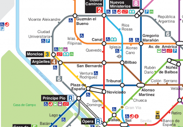 Metro
Metro
