Paseo Sagrera, Palma de Mallorca
Map

Map

Facts and practical information
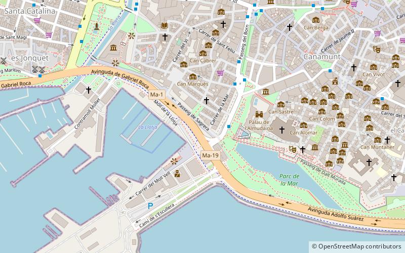
The Paseo Sagrera is a street c. 500 m long in Palma de Mallorca, the capital of the Balearic Islands, Spain. It was built in 1910 for the Balearic Regional Exhibition. The street extends from the beginning of Av. Antonio Maura - along with the Muelle Viejo - to the torrent of the Riera. The Lonja de Palma de Mallorca is located on the street. ()
Address
Distrito Centro (La Llotja-Born)Palma de Mallorca
ContactAdd
Social media
Add
Day trips
Paseo Sagrera – popular in the area (distance from the attraction)
Nearby attractions include: Palma Cathedral, Royal Palace of La Almudaina, Es Baluard, Gran Hotel.
Frequently Asked Questions (FAQ)
Which popular attractions are close to Paseo Sagrera?
Nearby attractions include Sa Llotja, Palma de Mallorca (2 min walk), Royal Palace of La Almudaina, Palma de Mallorca (4 min walk), Palma Cathedral, Palma de Mallorca (5 min walk), Gerhardt Braun Gallery, Palma de Mallorca (6 min walk).
How to get to Paseo Sagrera by public transport?
The nearest stations to Paseo Sagrera:
Bus
Light rail
Train
Ferry
Bus
- Antoni Maura • Lines: 50 (2 min walk)
- Plaça de la Reina • Lines: 15, 25, 35 (4 min walk)
Light rail
- Plaça d'Espanya • Lines: M1, M2 (21 min walk)
- Intermodal • Lines: M2 (21 min walk)
Train
- Palma (21 min walk)
Ferry
- Palma de Mallorca (33 min walk)


