Alameda de Pontevedra, Pontevedra
Map
Gallery
Facts and practical information
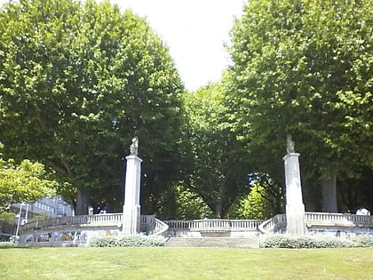
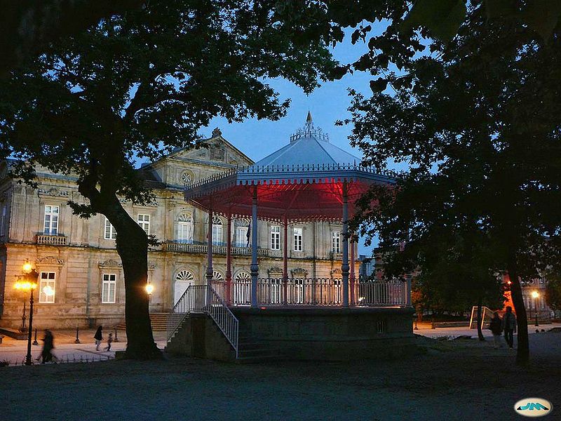
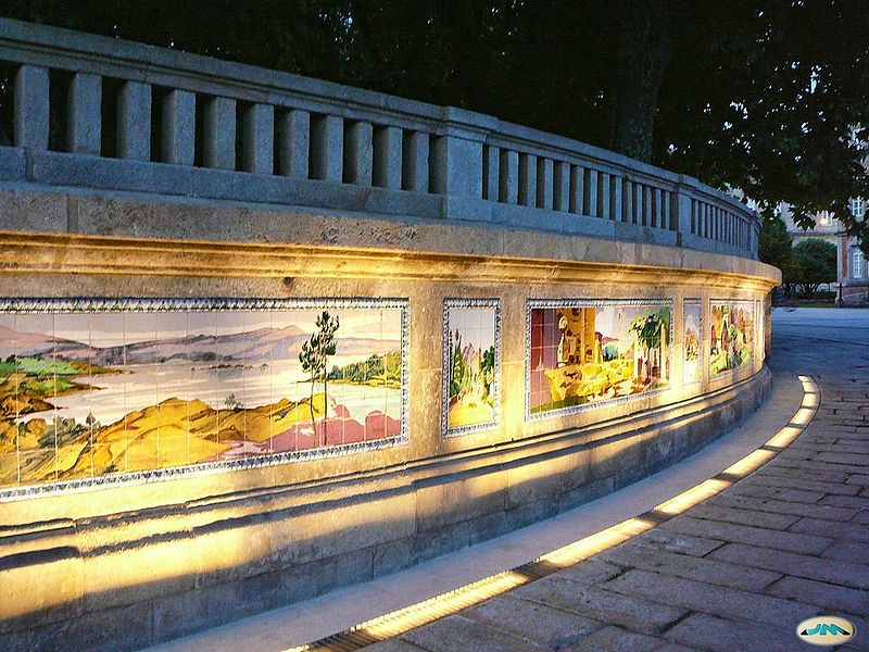
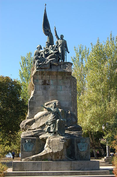
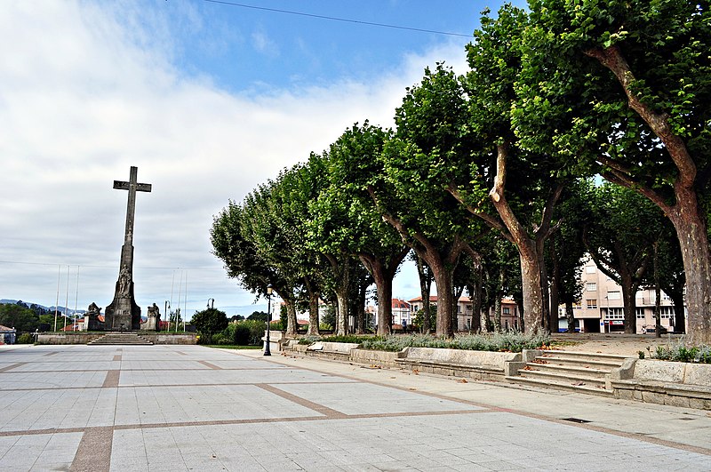
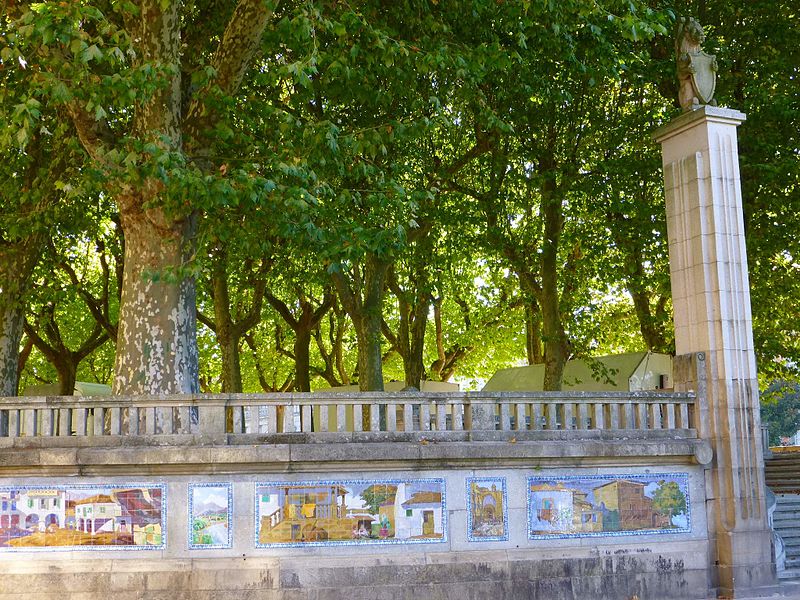
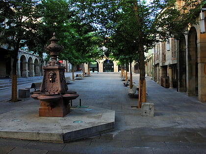
The Alameda del arquitecto Sesmero, popularly known as la Alameda by the Pontevedrians, is an urban park located in the city centre of Pontevedra, Galicia, Spain. Created in 1879, it is the largest green space in the centre of Pontevedra city, together with the Palm Trees Park. The Alameda is located to the west of the old town, close to the old fishermen's quarter of A Moureira. ()
Alternative names: Area: 5.19 acres (0.0081 mi²)Elevation: 79 ft a.s.l.Coordinates: 42°25'50"N, 8°38'58"W
Address
Pontevedra
ContactAdd
Social media
Add
Day trips
Alameda de Pontevedra – popular in the area (distance from the attraction)
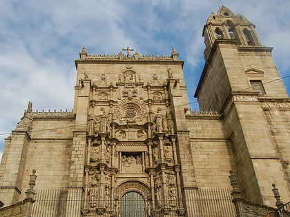
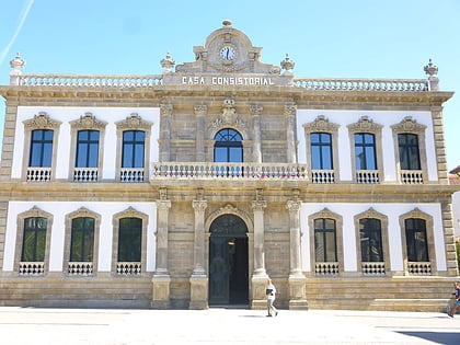
Nearby attractions include: Basilica of Saint Mary Major, Pontevedra City Hall, Plaza de la Herrería, Plaza de la Leña.
Frequently Asked Questions (FAQ)
Which popular attractions are close to Alameda de Pontevedra?
Nearby attractions include Palacio de la Diputación de Pontevedra, Pontevedra (2 min walk), Fonseca House, Pontevedra (3 min walk), Palm Trees Park, Pontevedra (3 min walk), Ruins of San Domingos, Pontevedra (4 min walk).
How to get to Alameda de Pontevedra by public transport?
The nearest stations to Alameda de Pontevedra:
Bus
Train
Bus
- Corvaceiras • Lines: Pontevedra - O Grove (6 min walk)
- María Victoria Moreno - Residencia Militar • Lines: 6, 814 (9 min walk)
Train
- Pontevedra (24 min walk)
- Pontevedra-Universidade (29 min walk)
