Paseo de la Castellana, Madrid
Map
Gallery
Facts and practical information
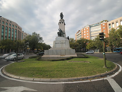
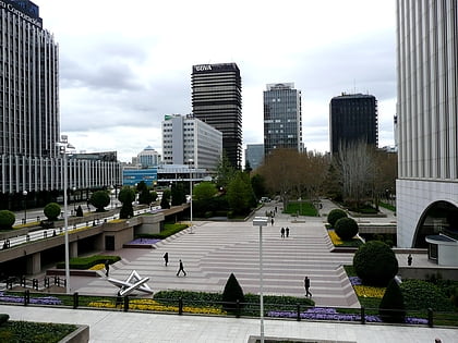
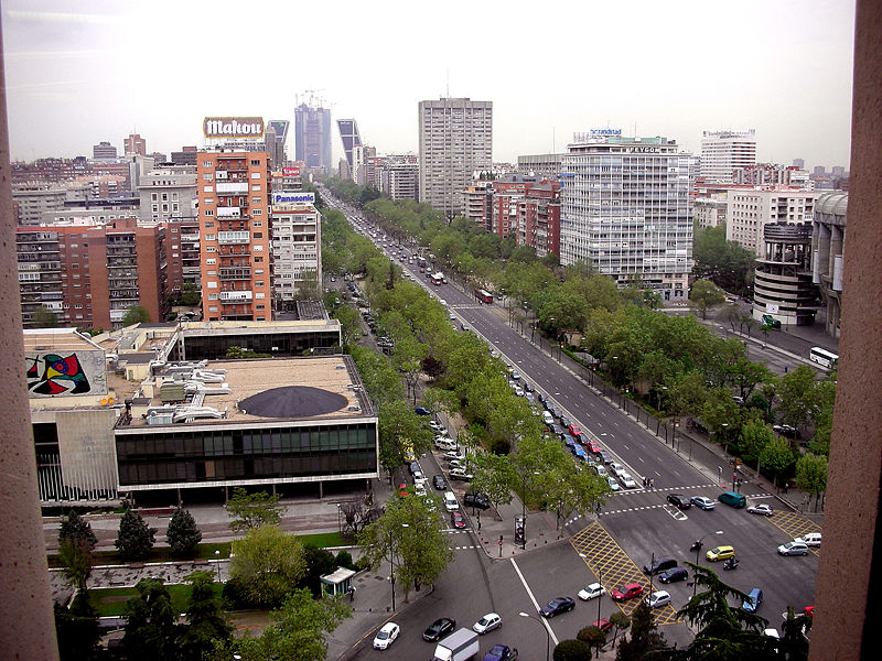
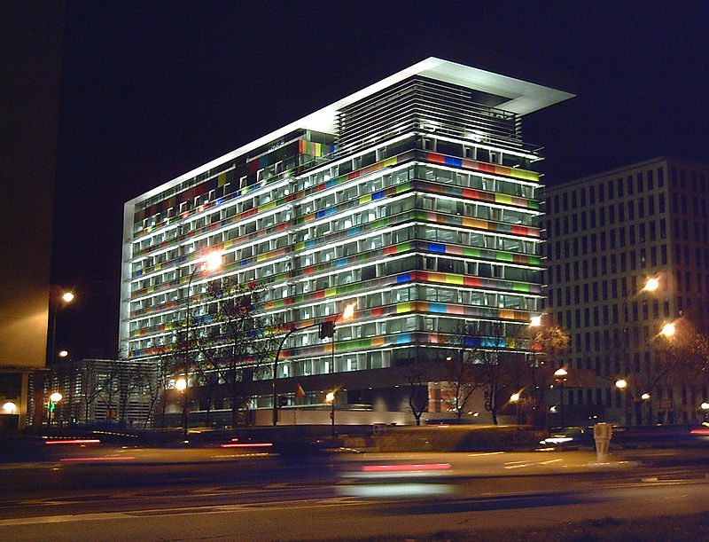
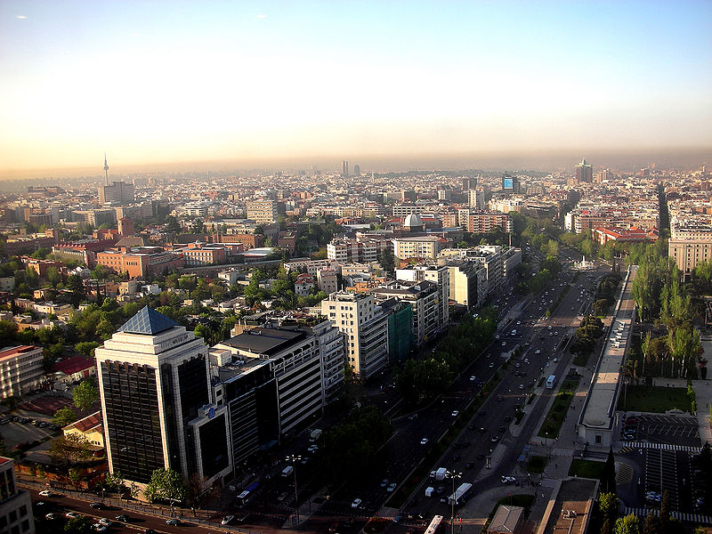
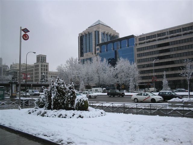
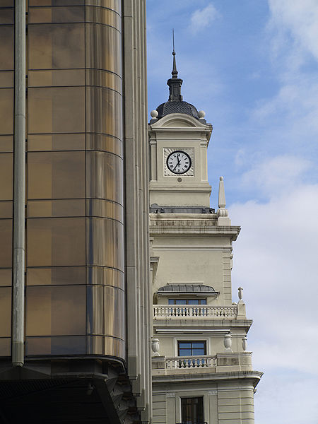
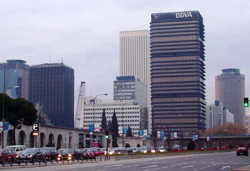
Paseo de la Castellana, commonly known as La Castellana, is a major street in Madrid, Spain. Cutting across the city from South to North, it has been described as the "true structuring axis" of the city. ()
Address
Chamartín (El Viso)Madrid
ContactAdd
Social media
Add
Day trips
Paseo de la Castellana – popular in the area (distance from the attraction)
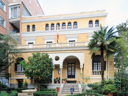
Nearby attractions include: Museo Nacional de Ciencias Naturales, Santiago Bernabéu Stadium, Castellana 81, Palace of Bermejillo.
Frequently Asked Questions (FAQ)
Which popular attractions are close to Paseo de la Castellana?
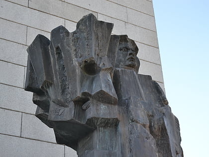
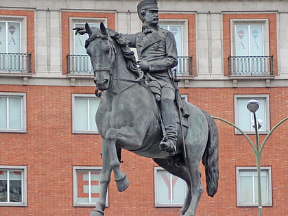
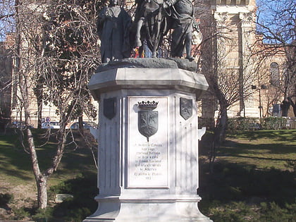
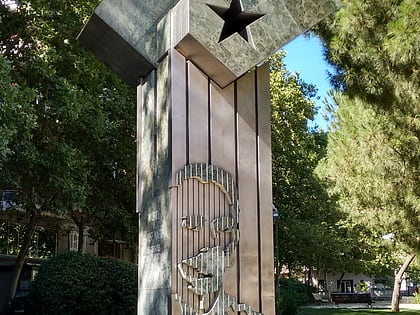
Nearby attractions include Nuevos Ministerios, Madrid (3 min walk), Statue of Indalecio Prieto, Madrid (4 min walk), Museo Nacional de Ciencias Naturales, Madrid (6 min walk), Monument to Isabella the Catholic, Madrid (7 min walk).
How to get to Paseo de la Castellana by public transport?
The nearest stations to Paseo de la Castellana:
Bus
Train
Metro
Bus
- Pº Castellana - Jorge Manrique • Lines: 14, 147, 150, 27, 40, 7, N23, N24 (1 min walk)
- Raimundo Fdez. Villaverde - N. Ministerios • Lines: 126, C1, C2 (5 min walk)
Train
- Nuevos Ministerios (4 min walk)
Metro
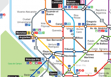
- Nuevos Ministerios • Lines: L10, L6, L8 (4 min walk)
- República Argentina • Lines: L6 (9 min walk)



 Metro
Metro

