Province of Málaga, Málaga
Map
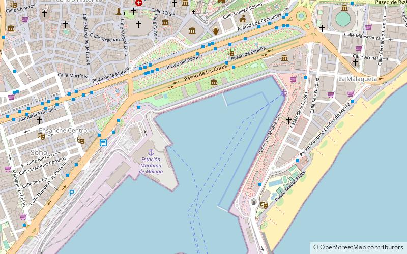
Map

Facts and practical information
The province of Málaga is located on the southern mediterranean coast of Spain, in Andalusia. It is bordered by the Mediterranean Sea to the south and by the provinces of Cádiz to the west, Seville to the northeast, Córdoba to the northwest, and Granada to the east. ()
Day trips
Province of Málaga – popular in the area (distance from the attraction)
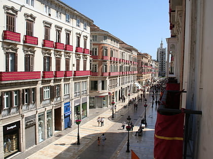
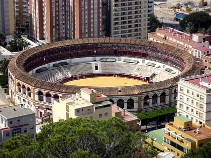
Nearby attractions include: Calle Marqués de Larios, Alcazaba, Plaza de toros de La Malagueta, Málaga Cathedral.
Frequently Asked Questions (FAQ)
Which popular attractions are close to Province of Málaga?
Nearby attractions include Port of Málaga, Málaga (1 min walk), Aula del Mar, Málaga (3 min walk), Monumento al Fiestero, Málaga (4 min walk), La Farola de Málaga, Málaga (6 min walk).
How to get to Province of Málaga by public transport?
The nearest stations to Province of Málaga:
Bus
Train
Metro
Bus
- Paseo de los Curas • Lines: 40 (5 min walk)
- Paseo del Parque • Lines: 1, 11, 14, 19, 21, 23, 25, 3, 31, 32, 33, 34, 35, 36, 37, 4, 8, 92, C1, E, N1, N3, N4 (5 min walk)
Train
- Málaga Centro - Alameda (15 min walk)
- Málaga María Zambrano (24 min walk)
Metro
- El Perchel • Lines: L1, L2 (24 min walk)
- La Isla • Lines: L2 (31 min walk)

