Kayts Island Fort, Velanai Island
Map

Map

Facts and practical information
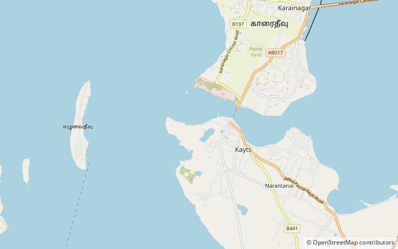
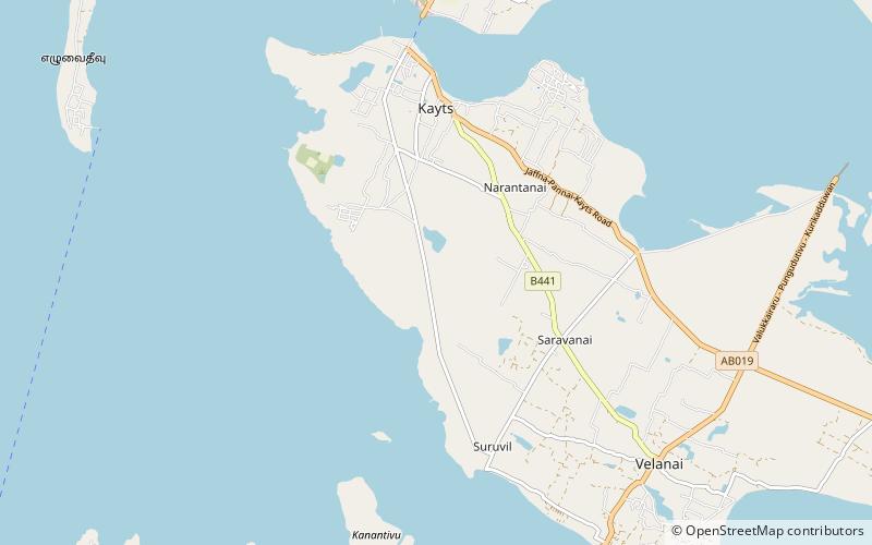
The Kayts Island Fort was built by the Portuguese in 1629 and was abandoned in 1651. In the late 1600s, Dutch controlled the fort when they took over the Kayts island. During the Dutch rule, it was not normal to undergo restoration like the former forts of Portugal. ()
Local name: කයිට්ස් දූපත් බලකොටුවBuilt: 1629 (397 years ago)Coordinates: 9°42'3"N, 79°51'7"E
Address
Velanai Island
ContactAdd
Social media
Add
Day trips
Kayts Island Fort – popular in the area (distance from the attraction)
Nearby attractions include: Kayts, Fort Hammenheil, Kovilan Point Lighthouse.


