Balapokuna Raja Maha Vihara, Colombo
Map
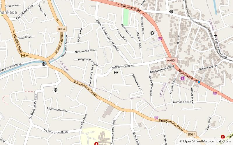
Map

Facts and practical information
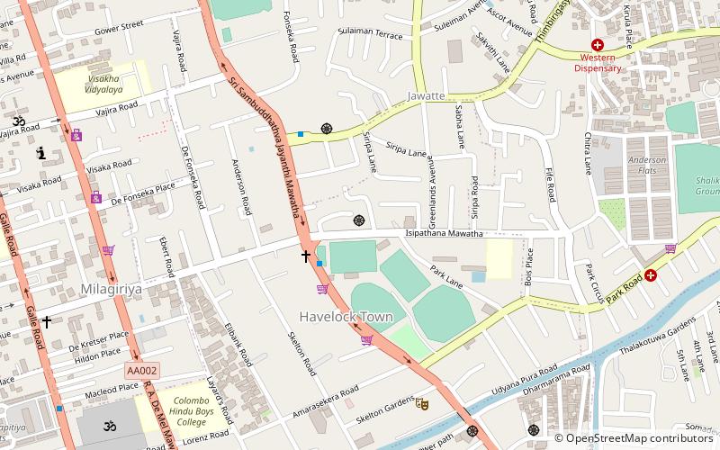
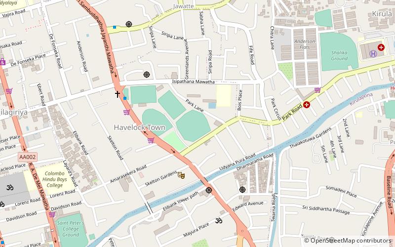
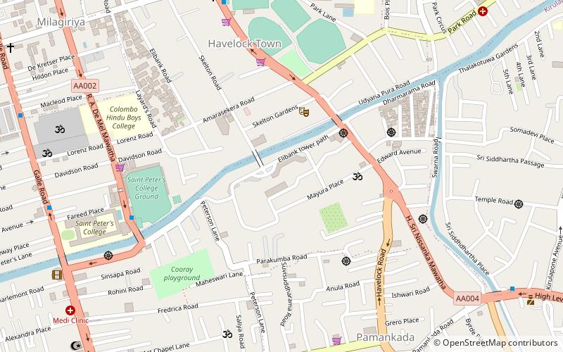
Balapokuna Raja Maha Vihara is a historic Buddhist temple situated in Pamankada, Western Province, Sri Lanka. It is located near to the 6th mile post junction on Colombo-Batticaloa main road. The temple has been formally recognised by the Government as an archaeological site in Sri Lanka. The designation was declared on 6 June 2008 under the government Gazette number 1553. ()
Local name: බලපොකුණ රජ මහා විහාරයCoordinates: 6°52'23"N, 79°52'40"E
Address
District 4 (Pamankade East)Colombo
ContactAdd
Social media
Add
Day trips
Balapokuna Raja Maha Vihara – popular in the area (distance from the attraction)
Nearby attractions include: National Zoological Gardens of Sri Lanka, St. Lawrence's Church, Isipathanaramaya Temple, Havelock City.
Frequently Asked Questions (FAQ)
How to get to Balapokuna Raja Maha Vihara by public transport?
The nearest stations to Balapokuna Raja Maha Vihara:
Train
Bus
Train
- Kirulapona (20 min walk)
Bus
- Nugegoda Bus Station (25 min walk)
- Nugegoda Bus Stand (25 min walk)


